Dartmouth night lights from space
Night Light of Dartmouth (Nova Scotia) from space (Canada) Src. Average luminocity for 10x10km area is 84.0545% and for 50x50km: 11.8843%.
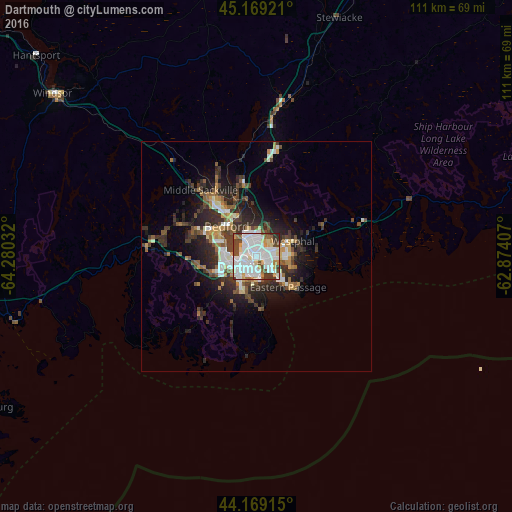
Analysis of Dartmouth night lights 2016
Square area 10x10 km:
 34.85%
90-99
28.33%80-89
8.18%70-79
5.45%60-69
2.58%50-59
3.79%40-49
8.64%30-39
6.97%20-29
1.21%10-19
0%0-9
0%Square area 50x50 km:
2.16%90-99
2.28%80-89
0.92%70-79
1.09%60-69
1.27%50-59
1.49%40-49
1.97%30-39
2.81%20-29
4.09%10-19
5.56%0-9
76.36%Clear (daylight) street map image can be seen on geolist.org.
Map coordinates:
45° 10' 9.2" North, 64° 16' 49.2" West
44° 40' 16.8" North, 63° 34' 37.9" West
44° 10' 8.9" North, 62° 52' 26.7" West
Some cities around Dartmouth sort by population:
• Halifax
2.8 km =1.7 mi,  173°
173°
• Lower Sackville
14.1 km =8.8 mi,  325°
325°
• Truro
81.1 km =50.4 mi,  17°
17°
• Cole Harbour
8.1 km =5 mi,  89°
89°
• Kentville
85.3 km =53 mi,  301°
301°
• Fall River
16.5 km =10.3 mi,  349°
349°
• Bridgewater
81.4 km =50.6 mi,  246°
246°
• Greenwood
112 km =69.6 mi,  287°
287°
5935277 (p: 101,343)
Sources (retrieved 2019-11-25):
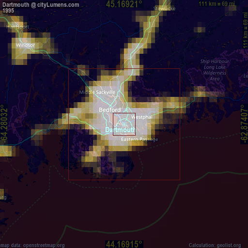
» NASA, Earths city lights 1995
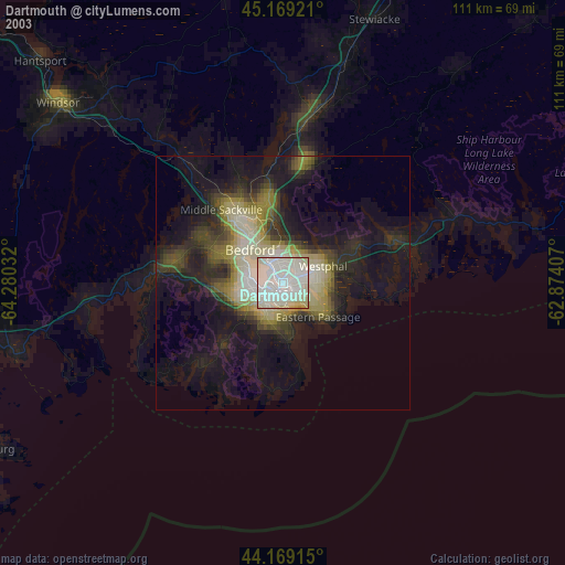
» NASA city lights 2003
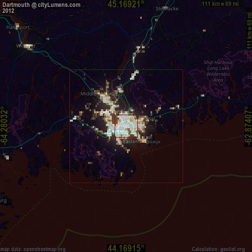
» Earth at Night: Flat Maps 2012, 2016