Squamish night lights from space
Night Light of Squamish (British Columbia) from space (Canada) Src. Average luminocity for 10x10km area is 8.9305% and for 50x50km: 0.5448%.
Analysis of Squamish night lights 2016
Square area 10x10 km:
 1.34%
1.34%90-99
2.14%80-89
1.07%70-79
0.27%60-69
1.34%50-59
0%40-49
2.67%30-39
0.53%20-29
0%10-19
0.27%0-9
90.37%Square area 50x50 km:
0.07%90-99
0.11%80-89
0.04%70-79
0.01%60-69
0.08%50-59
0.05%40-49
0.21%30-39
0.04%20-29
0.02%10-19
0.03%0-9
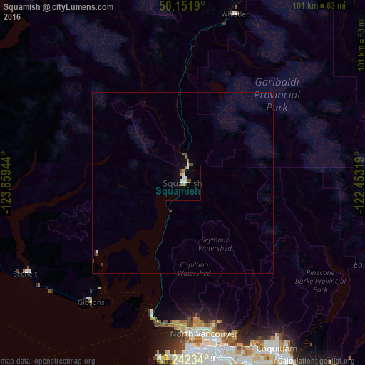
99.33%Clear (daylight) street map image can be seen on geolist.org.
Map coordinates:
50° 9' 6.8" North, 123° 51' 34" West
49° 41' 57.3" North, 123° 9' 22.7" West
49° 14' 32.4" North, 122° 27' 11.5" West
Some cities around Squamish sort by population:
• Vancouver
50.1 km =31.1 mi,  176°
176°
• Burnaby
50.3 km =31.3 mi,  163°
163°
• North Vancouver
43 km =26.7 mi,  171°
171°
• West End
46.3 km =28.8 mi, 177°
• West Vancouver
37 km =23 mi, 181°
• Sechelt
50.1 km =31.1 mi,  240°
240°
• Whistler
48.8 km =30.3 mi,  17°
17°
• Gibsons
42.1 km =26.2 mi,  216°
216°
6154636 (p: 17,587)
Sources (retrieved 2019-11-25):
» Earth at Night: Flat Maps 2012, 2016