Whistler night lights from space
Night Light of Whistler (British Columbia) from space (Canada) Src. Average luminocity for 10x10km area is 2.3837% and for 50x50km: 0.1208%.
Analysis of Whistler night lights 2016
Square area 10x10 km:
 0.4%
0.4%90-99
0.67%80-89
0%70-79
0%60-69
0%50-59
0.27%40-49
0.94%30-39
0.67%20-29
0.8%10-19
0%0-9
96.26%Square area 50x50 km:
0.02%90-99
0.03%80-89
0%70-79
0%60-69
0.02%50-59
0.01%40-49
0.04%30-39
0.04%20-29
0.04%10-19
0%0-9
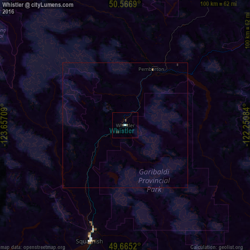
99.8%Clear (daylight) street map image can be seen on geolist.org.
Map coordinates:
50° 34' 0.8" North, 123° 39' 25.5" West
50° 7' 5.4" North, 122° 57' 14.3" West
49° 39' 54.7" North, 122° 15' 3" West
Some cities around Whistler sort by population:
• Coquitlam
93.5 km =58.1 mi,  172°
172°
• North Vancouver
89.5 km =55.6 mi,  185°
185°
• West End
93.7 km =58.2 mi, 187°
• West Vancouver
84.9 km =52.8 mi, 190°
• Port Moody
93.5 km =58.1 mi, 174°
• Squamish
48.8 km =30.3 mi,  197°
197°
• Sechelt
91.9 km =57.1 mi,  218°
218°
• Gibsons
89.6 km =55.7 mi,  206°
206°
6180144 (p: 8,713)
Sources (retrieved 2019-11-25):
» Earth at Night: Flat Maps 2012, 2016