North Vancouver night lights from space
Night Light of North Vancouver (British Columbia) from space (Canada) Src. Average luminocity for 10x10km area is 81.012% and for 50x50km: 31.2469%.
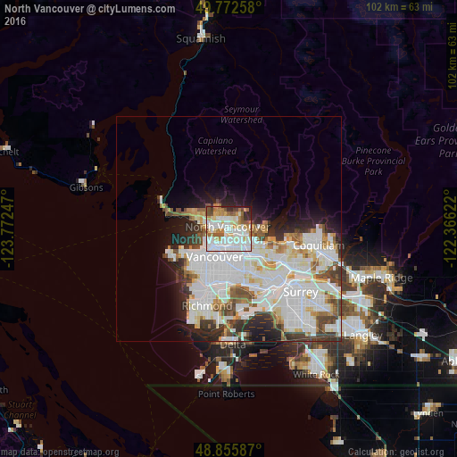
Analysis of North Vancouver night lights 2016
Square area 10x10 km:
 27.01%
90-99
27.81%80-89
9.89%70-79
5.88%60-69
9.09%50-59
7.89%40-49
4.14%30-39
2.41%20-29
4.55%10-19
1.34%0-9
0%Square area 50x50 km:
11.79%90-99
8.61%80-89
2.73%70-79
2.42%60-69
2.06%50-59
2.53%40-49
2.46%30-39
2.96%20-29
4.28%10-19
5.37%0-9
54.8%Clear (daylight) street map image can be seen on geolist.org.
Map coordinates:
49° 46' 21.3" North, 123° 46' 20.9" West
49° 18' 58.9" North, 123° 4' 9.6" West
48° 51' 21.1" North, 122° 21' 58.4" West
Some cities around North Vancouver sort by population:
• Vancouver
8.3 km =5.2 mi,  206°
206°
• Burnaby
10.1 km =6.3 mi,  123°
123°
• Richmond
17 km =10.6 mi,  196°
196°
• Coquitlam
21.1 km =13.1 mi,  99°
99°
• New Westminster
16.8 km =10.4 mi,  136°
136°
• West End
5.9 km =3.7 mi,  231°
231°
• West Vancouver
9 km =5.6 mi,  308°
308°
• Port Moody
18.2 km =11.3 mi, 102°
6090785 (p: 48,000)
Sources (retrieved 2019-11-25):
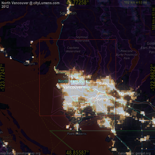
» Earth at Night: Flat Maps 2012, 2016