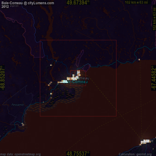
Baie-Comeau night lights from space
Night Light of Baie-Comeau (Quebec) from space (Canada) Src. Average luminocity for 10x10km area is 20.0027% and for 50x50km: 1.6129%.
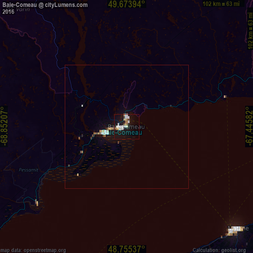
Analysis of Baie-Comeau night lights 2016
Square area 10x10 km:
 4.95%
4.95%90-99
4.81%80-89
1.74%70-79
1.34%60-69
1.07%50-59
0.94%40-49
2.54%30-39
0%20-29
0.67%10-19
26.2%0-9
55.75%Square area 50x50 km:
0.3%90-99
0.29%80-89
0.13%70-79
0.16%60-69
0.1%50-59
0.15%40-49
0.27%30-39
0.03%20-29
0.12%10-19
1.49%0-9
96.95%Clear (daylight) street map image can be seen on geolist.org.
Map coordinates:
49° 40' 26.2" North, 68° 51' 7.5" West
49° 13' 0.4" North, 68° 8' 56.2" West
48° 45' 19.3" North, 67° 26' 45" West
Some cities around Baie-Comeau sort by population:
• Rimouski
89.7 km =55.7 mi,  197°
197°
• Sept-Îles
167.6 km =104.1 mi,  49°
49°
• Matane
62.9 km =39.1 mi,  133°
133°
• Hauterive
8.3 km =5.2 mi,  253°
253°
• Mont-Joli
70.4 km =43.7 mi,  182°
182°
• Amqui
98.8 km =61.4 mi,  147°
147°
• Port-Cartier
129.6 km =80.5 mi, 45°
• Sainte-Anne-des-Monts
120.9 km =75.1 mi,  94°
94°
5889745 (p: 29,808)
Sources (retrieved 2019-11-25):
» Earth at Night: Flat Maps 2012, 2016