Mont-Joli night lights from space
Night Light of Mont-Joli (Quebec) from space (Canada) Src. Average luminocity for 10x10km area is 10.5193% and for 50x50km: 1.9104%.
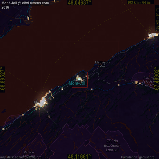
Analysis of Mont-Joli night lights 2016
Square area 10x10 km:
 1.04%
1.04%90-99
1.93%80-89
1.19%70-79
1.49%60-69
1.19%50-59
1.04%40-49
1.79%30-39
0.15%20-29
3.27%10-19
1.19%0-9
85.71%Square area 50x50 km:
0.29%90-99
0.38%80-89
0.21%70-79
0.19%60-69
0.18%50-59
0.21%40-49
0.2%30-39
0.14%20-29
0.5%10-19
1.44%0-9
96.27%Clear (daylight) street map image can be seen on geolist.org.
Map coordinates:
49° 2' 48.7" North, 68° 53' 43" West
48° 35' 2" North, 68° 11' 31.7" West
48° 6' 59.8" North, 67° 29' 20.5" West
Some cities around Mont-Joli sort by population:
• Rimouski
28.7 km =17.8 mi,  238°
238°
• Baie-Comeau
70.4 km =43.7 mi,  2°
2°
• Rivière-du-Loup
130.7 km =81.2 mi,  229°
229°
• Edmundston
134.9 km =83.8 mi,  184°
184°
• Matane
56.2 km =34.9 mi,  61°
61°
• Hauterive
68.2 km =42.4 mi,  355°
355°
• Campbellton
129.4 km =80.4 mi,  119°
119°
• Amqui
57.6 km =35.8 mi,  103°
103°
6944113 (p: 6,568)
Sources (retrieved 2019-11-25):
» Earth at Night: Flat Maps 2012, 2016