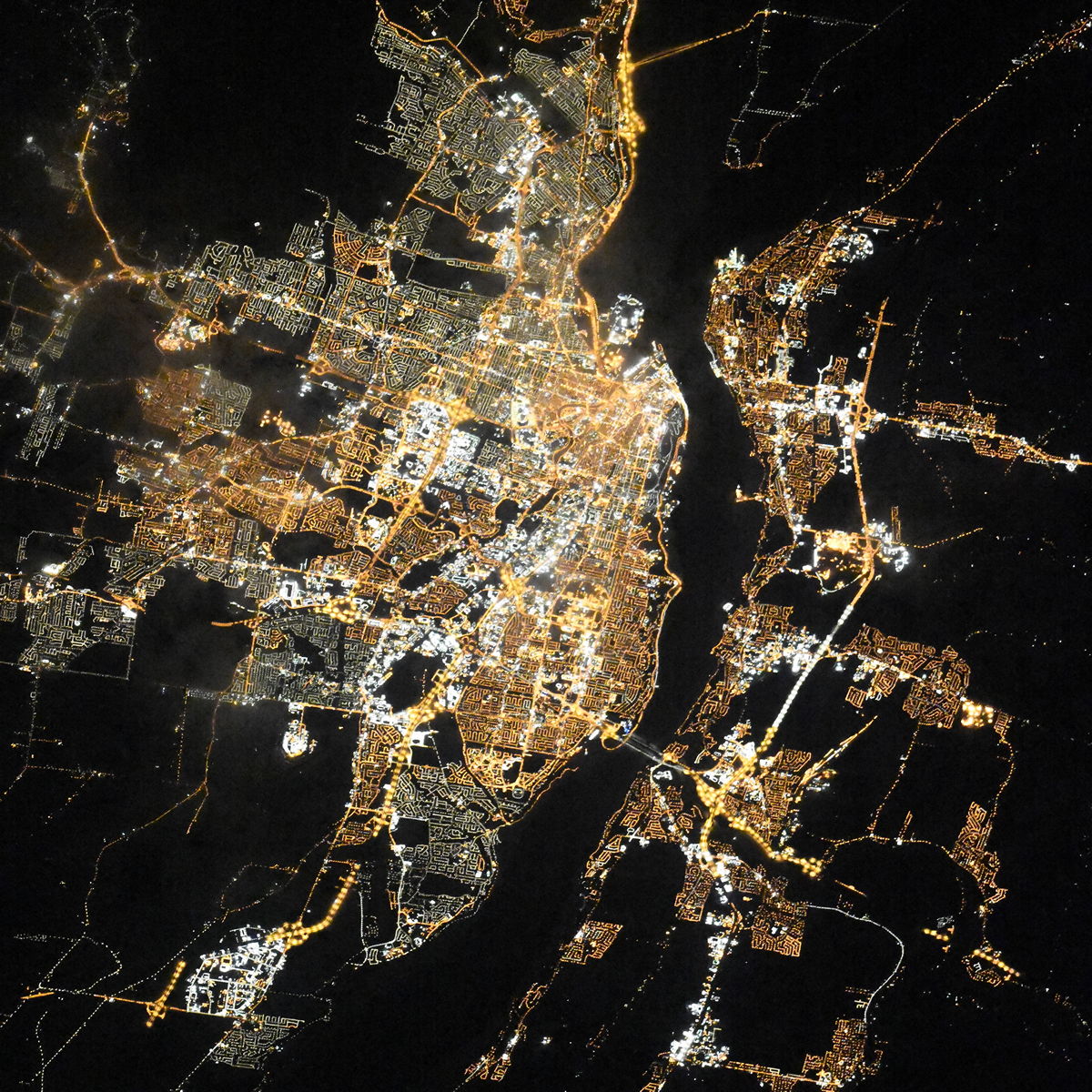
QuĂŠbec night lights from space
Night Light of QuĂŠbec (Quebec) from space (Canada) Src. Average luminocity for 10x10km area is 89.6354% and for 50x50km: 23.5803%.
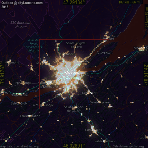
Analysis of QuĂŠbec night lights 2016
Square area 10x10 km:
 43.01%
90-99
30.21%80-89
4.91%70-79
5.36%60-69
8.18%50-59
1.64%40-49
4.32%30-39
2.38%20-29
0%10-19
0%0-9
0%Square area 50x50 km:
5.48%90-99
5.71%80-89
2.07%70-79
2.41%60-69
2.54%50-59
2.45%40-49
3.08%30-39
3.35%20-29
5.09%10-19
8.64%0-9
59.17%Clear (daylight) street map image can be seen on geolist.org.
Map coordinates:
47° 17' 28.8" North, 71° 55' 3.6" West
46° 48' 44.2" North, 71° 12' 52.3" West
46° 19' 44.1" North, 70° 30' 41.1" West
Fantastic image of QuĂŠbec from space taken by astronauts [src2], but I don't have information about it's orientation, scale or angle. If necessary, it was rotated manually, so North points approximately to upper direction. Click to zoom in:
Some cities around QuĂŠbec sort by population:
• LĂŠvis
3 km =1.9 mi,  109°
109°
• La Haute-Saint-Charles
14.8 km =9.2 mi,  305°
305°
• Saint-Augustin-de-Desmaures
19.7 km =12.2 mi,  246°
246°
• L'Ancienne-Lorette
10.7 km =6.6 mi,  258°
258°
• Pont-Rouge
37.2 km =23.1 mi, 260°
• Shannon
24 km =14.9 mi,  288°
288°
• Saint-Henri
17.3 km =10.7 mi,  140°
140°
• Sainte Catherine de la Jacques Cartier
31.2 km =19.4 mi,  278°
278°
6325494 (p: 528,595)
Sources (retrieved 2019-11-25):
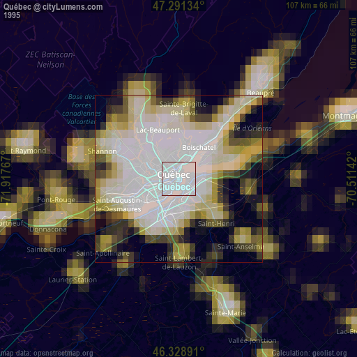
» NASA, Earths city lights 1995
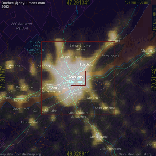
» NASA city lights 2003
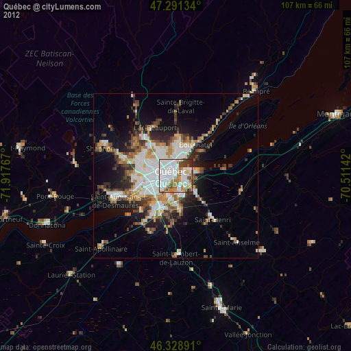
» Earth at Night: Flat Maps 2012, 2016
Src.2: picture by Oleg Kononenko, Roscosmos, retrieved 2019-11-29