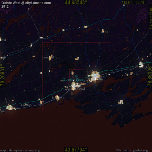
Quinte West night lights from space
Night Light of Quinte West (Ontario) from space (Canada) Src. Average luminocity for 10x10km area is 5.0348% and for 50x50km: 4.2001%.

Analysis of Quinte West night lights 2016
Square area 10x10 km:
 0%
0%90-99
0%80-89
0%70-79
0.3%60-69
0.91%50-59
0%40-49
0.91%30-39
1.52%20-29
0.61%10-19
8.94%0-9
86.82%Square area 50x50 km:
0.45%90-99
0.74%80-89
0.6%70-79
0.45%60-69
0.48%50-59
0.58%40-49
0.44%30-39
0.39%20-29
0.85%10-19
3.66%0-9
91.37%Clear (daylight) street map image can be seen on geolist.org.
Map coordinates:
44° 41' 7.7" North, 78° 16' 9.5" West
44° 11' 0.3" North, 77° 33' 58.2" West
43° 40' 37.3" North, 76° 51' 47" West
Some cities around Quinte West sort by population:
• Kingston
86.6 km =53.8 mi,  86°
86°
• Peterborough
61.1 km =38 mi,  282°
282°
• Belleville
14.7 km =9.1 mi,  97°
97°
• Prince Edward
32.5 km =20.2 mi,  128°
128°
• Cobourg
53.9 km =33.5 mi,  242°
242°
• Greater Napanee
49.7 km =30.9 mi,  81°
81°
• Port Hope
69.1 km =42.9 mi,  254°
254°
• Napanee
49.7 km =30.9 mi, 81°
6115355 (p: 42,697)
Sources (retrieved 2019-11-25):
» Earth at Night: Flat Maps 2012, 2016