Belleville night lights from space
Night Light of Belleville (Ontario) from space (Canada) Src. Average luminocity for 10x10km area is 44.5636% and for 50x50km: 4.1563%.
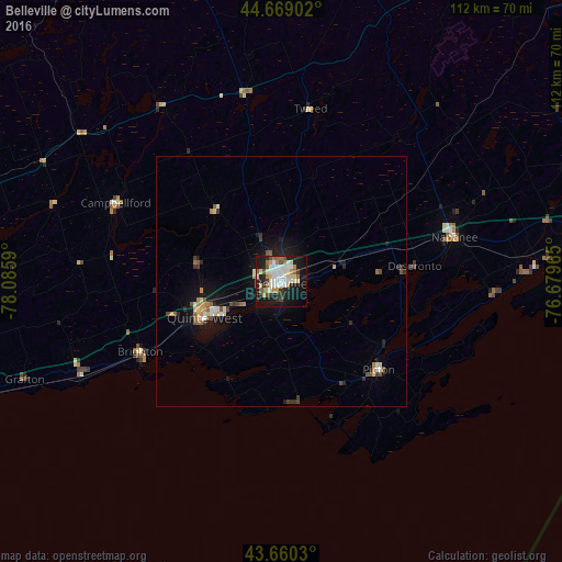
Analysis of Belleville night lights 2016
Square area 10x10 km:
 8.33%
8.33%90-99
12.12%80-89
6.52%70-79
4.55%60-69
4.09%50-59
4.24%40-49
3.18%30-39
3.64%20-29
11.97%10-19
32.88%0-9
8.48%Square area 50x50 km:
0.46%90-99
0.75%80-89
0.56%70-79
0.41%60-69
0.46%50-59
0.47%40-49
0.51%30-39
0.49%20-29
0.91%10-19
3.74%0-9
91.26%Clear (daylight) street map image can be seen on geolist.org.
Map coordinates:
44° 40' 8.5" North, 78° 5' 9.2" West
44° 10' 0.6" North, 77° 22' 58" West
43° 39' 37.1" North, 76° 40' 46.7" West
Some cities around Belleville sort by population:
• Kingston
72.2 km =44.9 mi,  84°
84°
• Peterborough
75.8 km =47.1 mi,  281°
281°
• Quinte West
14.7 km =9.1 mi, 277°
• Prince Edward
21.4 km =13.3 mi,  150°
150°
• Cobourg
66.6 km =41.4 mi,  249°
249°
• Greater Napanee
35.8 km =22.2 mi,  74°
74°
• Port Hope
82.9 km =51.5 mi,  258°
258°
• Napanee
35.8 km =22.2 mi, 74°
5897884 (p: 49,454)
Sources (retrieved 2019-11-25):
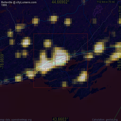
» NASA, Earths city lights 1995
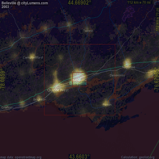
» NASA city lights 2003
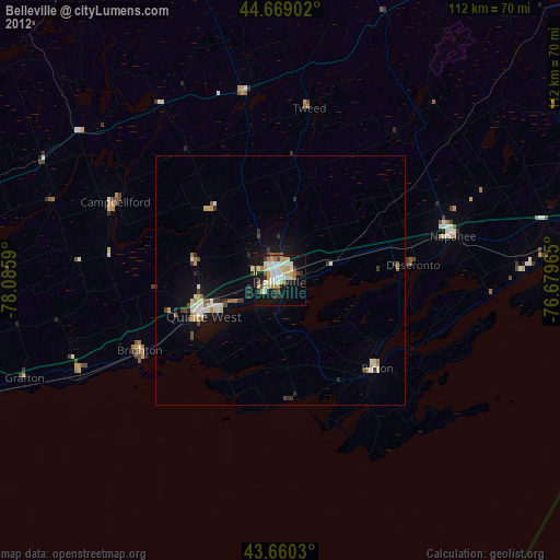
» Earth at Night: Flat Maps 2012, 2016