Mirabel night lights from space
Night Light of Mirabel (Quebec) from space (Canada) Src. Average luminocity for 10x10km area is 12.5167% and for 50x50km: 25.1519%.
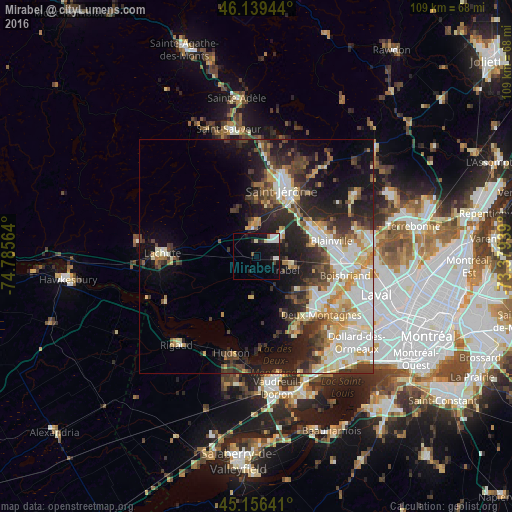
Analysis of Mirabel night lights 2016
Square area 10x10 km:
 2.42%
2.42%90-99
3.18%80-89
1.06%70-79
0%60-69
0.61%50-59
0.91%40-49
0.61%30-39
0.61%20-29
3.03%10-19
15.45%0-9
72.12%Square area 50x50 km:
4.86%90-99
5.64%80-89
2.99%70-79
3%60-69
2.54%50-59
2.18%40-49
3.49%30-39
4.4%20-29
7.22%10-19
11.06%0-9
52.62%Clear (daylight) street map image can be seen on geolist.org.
Map coordinates:
46° 8' 22" North, 74° 47' 8.3" West
45° 39' 0.3" North, 74° 4' 57" West
45° 9' 23.1" North, 73° 22' 45.8" West
Some cities around Mirabel sort by population:
• Saint-Jérôme
15.7 km =9.8 mi,  22°
22°
• Blainville
15.7 km =9.8 mi,  83°
83°
• Saint-Eustache
16.7 km =10.4 mi,  124°
124°
• Deux-Montagnes
19.1 km =11.9 mi,  132°
132°
• Sainte-Marthe-sur-le-Lac
17.5 km =10.9 mi,  138°
138°
• Saint-Canut
7.2 km =4.5 mi,  359°
359°
• Pointe-Calumet
19 km =11.8 mi,  151°
151°
• Saint-Joseph-du-Lac
14.5 km =9 mi, 153°
6075061 (p: 34,626)
Sources (retrieved 2019-11-25):
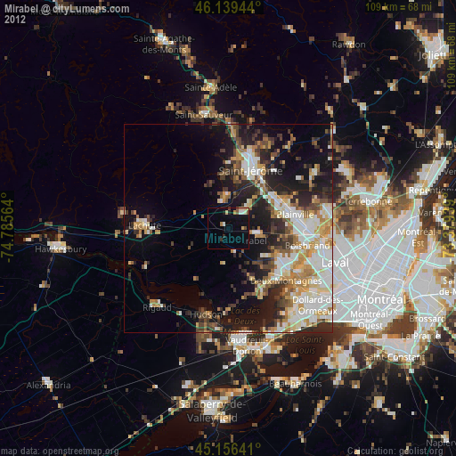
» Earth at Night: Flat Maps 2012, 2016