Saint-Eustache night lights from space
Night Light of Saint-Eustache (Quebec) from space (Canada) Src. Average luminocity for 10x10km area is 70.0348% and for 50x50km: 47.5082%.
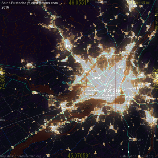
Analysis of Saint-Eustache night lights 2016
Square area 10x10 km:
 15.15%
90-99
16.21%80-89
10.76%70-79
13.33%60-69
12.58%50-59
5.61%40-49
9.55%30-39
8.79%20-29
6.06%10-19
1.97%0-9
0%Square area 50x50 km:
16.29%90-99
10.08%80-89
4.24%70-79
4.92%60-69
4.8%50-59
4.23%40-49
4.68%30-39
5.95%20-29
10.22%10-19
11.6%0-9
22.98%Clear (daylight) street map image can be seen on geolist.org.
Map coordinates:
46° 3' 18.4" North, 74° 36' 31.2" West
45° 33' 54" North, 73° 54' 19.9" West
45° 4' 14.1" North, 73° 12' 8.7" West
Some cities around Saint-Eustache sort by population:
• Dollard-Des Ormeaux
10.1 km =6.3 mi,  141°
141°
• Blainville
11.5 km =7.1 mi,  9°
9°
• Pointe-Claire
14.7 km =9.1 mi,  151°
151°
• Boisbriand
8.1 km =5 mi,  44°
44°
• Kirkland
13.1 km =8.1 mi,  166°
166°
• Deux-Montagnes
3.4 km =2.1 mi, 174°
• Rosemère
11.2 km =7 mi,  47°
47°
• Pointe-Calumet
8.6 km =5.3 mi,  213°
213°
6138175 (p: 42,062)
Sources (retrieved 2019-11-25):
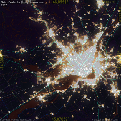
» Earth at Night: Flat Maps 2012, 2016