Laurentides night lights from space
Night Light of Laurentides (Quebec) from space (Canada) Src. Average luminocity for 10x10km area is 0% and for 50x50km: 0.0056%.
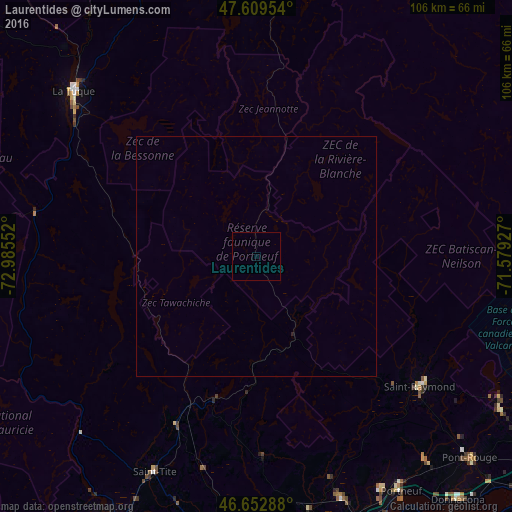
Analysis of Laurentides night lights 2016
Square area 10x10 km:
 0%
0%90-99
0%80-89
0%70-79
0%60-69
0%50-59
0%40-49
0%30-39
0%20-29
0%10-19
0%0-9
100%Square area 50x50 km:
0%90-99
0%80-89
0%70-79
0%60-69
0%50-59
0%40-49
0%30-39
0%20-29
0.02%10-19
0%0-9
99.98%Clear (daylight) street map image can be seen on geolist.org.
Map coordinates:
47° 36' 34.3" North, 72° 59' 7.9" West
47° 8' 0.1" North, 72° 16' 56.6" West
46° 39' 10.4" North, 71° 34' 45.4" West
Some cities around Laurentides sort by population:
• La Haute-Saint-Charles
74.1 km =46 mi,  111°
111°
• Shawinigan
72.3 km =44.9 mi,  209°
209°
• Saint-Augustin-de-Desmaures
76.7 km =47.7 mi,  124°
124°
• La Tuque
50.4 km =31.3 mi,  311°
311°
• Pont-Rouge
61.3 km =38.1 mi,  133°
133°
• Donnacona
65.8 km =40.9 mi,  139°
139°
• Shannon
64.7 km =40.2 mi, 115°
• Sainte Catherine de la Jacques Cartier
59.1 km =36.7 mi, 121°
6050539 (p: 12,710)
Sources (retrieved 2019-11-25):
» Earth at Night: Flat Maps 2012, 2016