Saint-Augustin-de-Desmaures night lights from space
Night Light of Saint-Augustin-de-Desmaures (Quebec) from space (Canada) Src. Average luminocity for 10x10km area is 31.9732% and for 50x50km: 22.5238%.
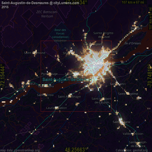
Analysis of Saint-Augustin-de-Desmaures night lights 2016
Square area 10x10 km:
 4.46%
4.46%90-99
5.65%80-89
1.93%70-79
2.23%60-69
1.93%50-59
5.21%40-49
8.63%30-39
8.04%20-29
13.99%10-19
26.34%0-9
21.58%Square area 50x50 km:
5.5%90-99
5.66%80-89
2.08%70-79
2.29%60-69
2.41%50-59
2.21%40-49
2.71%30-39
3.08%20-29
4.64%10-19
7.29%0-9
62.13%Clear (daylight) street map image can be seen on geolist.org.
Map coordinates:
47° 13' 13.2" North, 72° 9' 16" West
46° 44' 26.3" North, 71° 27' 4.7" West
46° 15' 23.9" North, 70° 44' 53.5" West
Some cities around Saint-Augustin-de-Desmaures sort by population:
• Québec
19.7 km =12.2 mi,  66°
66°
• Lévis
22 km =13.7 mi, 71°
• La Haute-Saint-Charles
17.7 km =11 mi,  19°
19°
• L'Ancienne-Lorette
9.6 km =6 mi,  51°
51°
• Pont-Rouge
18.7 km =11.6 mi,  274°
274°
• Plessisville
62.7 km =39 mi,  202°
202°
• Donnacona
21.8 km =13.5 mi,  252°
252°
• Shannon
16.3 km =10.1 mi,  342°
342°
7535681 (p: 17,281)
Sources (retrieved 2019-11-25):
» Earth at Night: Flat Maps 2012, 2016