Shawinigan night lights from space
Night Light of Shawinigan (Quebec) from space (Canada) Src. Average luminocity for 10x10km area is 31.1989% and for 50x50km: 6.3359%.
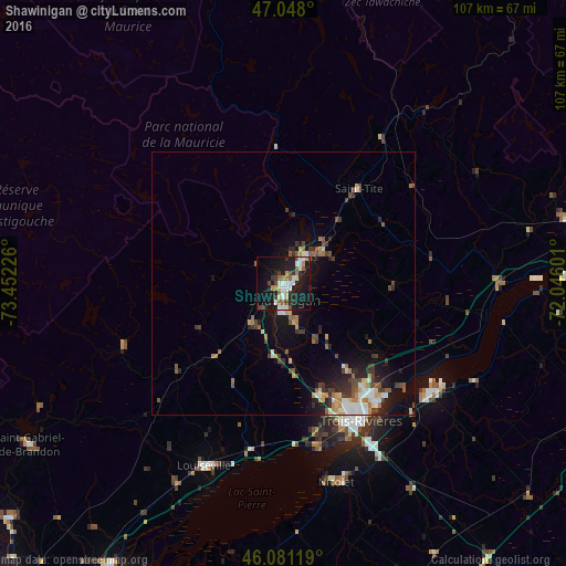
Analysis of Shawinigan night lights 2016
Square area 10x10 km:
 4.97%
4.97%90-99
6.68%80-89
2.7%70-79
2.56%60-69
2.56%50-59
3.84%40-49
4.55%30-39
4.26%20-29
8.81%10-19
36.93%0-9
22.16%Square area 50x50 km:
0.79%90-99
1.04%80-89
0.49%70-79
0.74%60-69
0.76%50-59
0.93%40-49
1.08%30-39
1.14%20-29
1.61%10-19
4.71%0-9
86.72%Clear (daylight) street map image can be seen on geolist.org.
Map coordinates:
47° 2' 52.8" North, 73° 27' 8.1" West
46° 34' 0.3" North, 72° 44' 56.9" West
46° 4' 52.3" North, 72° 2' 45.6" West
Some cities around Shawinigan sort by population:
• Trois-Rivières
29.1 km =18.1 mi,  147°
147°
• Sorel-Tracy
64.7 km =40.2 mi,  205°
205°
• Sainte-Catherine
31 km =19.3 mi, 153°
• Laurentides
72.3 km =44.9 mi,  29°
29°
• Bécancour
34.9 km =21.7 mi,  135°
135°
• Saint-Félix-de-Valois
68.1 km =42.3 mi,  229°
229°
• Louiseville
37.6 km =23.4 mi,  203°
203°
• Nicolet
40.2 km =25 mi,  165°
165°
6145489 (p: 38,211)
Sources (retrieved 2019-11-25):
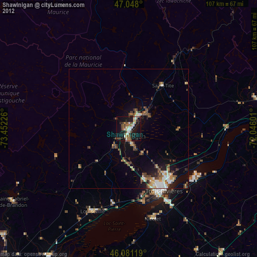
» Earth at Night: Flat Maps 2012, 2016