Jonquière night lights from space
Night Light of Jonquière (Quebec) from space (Canada) Src. Average luminocity for 10x10km area is 41.2571% and for 50x50km: 6.7086%.
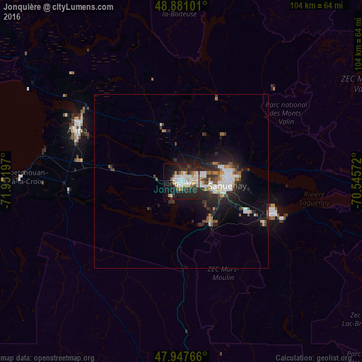
Analysis of Jonquière night lights 2016
Square area 10x10 km:
 9.38%
9.38%90-99
10.51%80-89
4.69%70-79
3.98%60-69
2.27%50-59
3.13%40-49
1.28%30-39
3.41%20-29
21.02%10-19
27.56%0-9
12.78%Square area 50x50 km:
1.2%90-99
1.41%80-89
0.5%70-79
0.53%60-69
0.62%50-59
0.63%40-49
0.69%30-39
1.1%20-29
2.85%10-19
5.02%0-9
85.46%Clear (daylight) street map image can be seen on geolist.org.
Map coordinates:
48° 52' 51.6" North, 71° 57' 7.1" West
48° 24' 59.3" North, 71° 14' 55.8" West
47° 56' 51.6" North, 70° 32' 44.6" West
Some cities around Jonquière sort by population:
• Saguenay
13.5 km =8.4 mi,  89°
89°
• Alma
33 km =20.5 mi,  296°
296°
• Dolbeau-Mistassini
88.6 km =55.1 mi,  305°
305°
• Roberval
73.4 km =45.6 mi,  278°
278°
• La Malbaie
117.6 km =73.1 mi,  136°
136°
• Saint-Félicien
92.1 km =57.2 mi,  286°
286°
• Pont Rouge
80.3 km =49.9 mi, 310°
• Pointe-du-Lac
40.4 km =25.1 mi, 283°
7303786 (p: 54,842)
Sources (retrieved 2019-11-25):
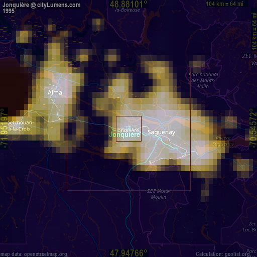
» NASA, Earths city lights 1995
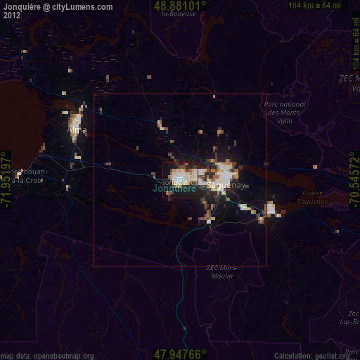
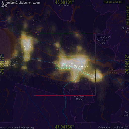
» NASA city lights 2003
» Earth at Night: Flat Maps 2012, 2016