Canmore night lights from space
Night Light of Canmore (Alberta) from space (Canada) Src. Average luminocity for 10x10km area is 7.8449% and for 50x50km: 0.6004%.
Analysis of Canmore night lights 2016
Square area 10x10 km:
 0.53%
0.53%90-99
0.53%80-89
0.4%70-79
0.13%60-69
2.41%50-59
2.81%40-49
1.34%30-39
2.01%20-29
1.34%10-19
1.07%0-9
87.43%Square area 50x50 km:
0.06%90-99
0.05%80-89
0.03%70-79
0.06%60-69
0.12%50-59
0.18%40-49
0.12%30-39
0.16%20-29
0.12%10-19
0.06%0-9
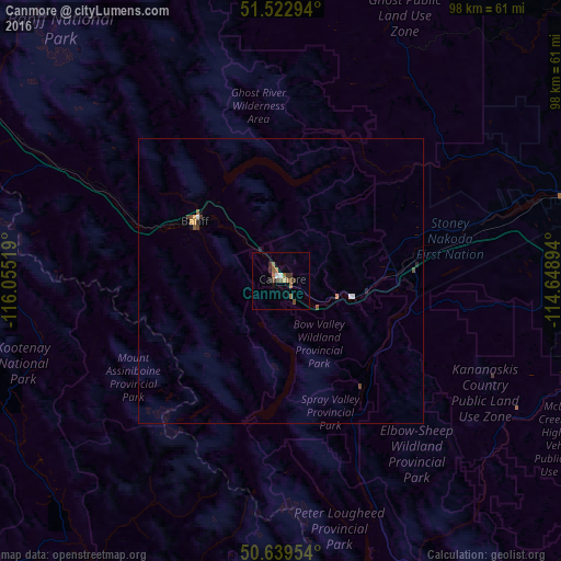
99.05%Clear (daylight) street map image can be seen on geolist.org.
Map coordinates:
51° 31' 22.6" North, 116° 3' 18.7" West
51° 5' 0.1" North, 115° 21' 7.4" West
50° 38' 22.3" North, 114° 38' 56.2" West
Some cities around Canmore sort by population:
• Calgary
88.6 km =55.1 mi,  92°
92°
• Airdrie
94.9 km =59 mi,  75°
75°
• Cochrane
62.6 km =38.9 mi, 79°
• Okotoks
103.8 km =64.5 mi,  112°
112°
• Strathmore
137.5 km =85.4 mi, 91°
• High River
118.1 km =73.4 mi,  118°
118°
• Olds
116.5 km =72.4 mi,  48°
48°
• Banff
18.4 km =11.4 mi,  304°
304°
5914894 (p: 12,288)
Sources (retrieved 2019-11-25):
» Earth at Night: Flat Maps 2012, 2016