Joliette night lights from space
Night Light of Joliette (Quebec) from space (Canada) Src. Average luminocity for 10x10km area is 48.277% and for 50x50km: 10.5088%.
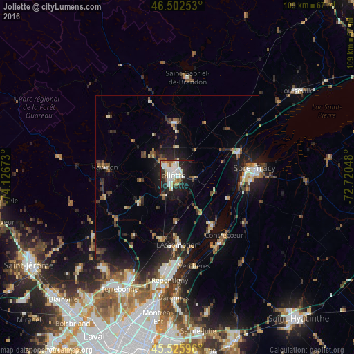
Analysis of Joliette night lights 2016
Square area 10x10 km:
 13.21%
90-99
13.64%80-89
5.97%70-79
3.41%60-69
2.84%50-59
3.69%40-49
2.41%30-39
2.41%20-29
18.32%10-19
24.15%0-9
9.94%Square area 50x50 km:
1.01%90-99
1.6%80-89
1.16%70-79
0.9%60-69
1.2%50-59
1.42%40-49
1.47%30-39
1.55%20-29
3.56%10-19
8.14%0-9
77.99%Clear (daylight) street map image can be seen on geolist.org.
Map coordinates:
46° 30' 9.1" North, 74° 7' 36.2" West
46° 0' 59" North, 73° 25' 25" West
45° 31' 33.5" North, 72° 43' 13.7" West
Some cities around Joliette sort by population:
• Repentigny
30.6 km =19 mi,  183°
183°
• Sorel-Tracy
24.1 km =15 mi,  83°
83°
• L'Assomption
21.5 km =13.4 mi, 181°
• Saint-Lin-Laurentides
32.3 km =20.1 mi,  235°
235°
• Lavaltrie
18.4 km =11.4 mi,  143°
143°
• Notre-Dame-des-Prairies
3.8 km =2.4 mi,  349°
349°
• Saint-Félix-de-Valois
17.1 km =10.6 mi,  359°
359°
• Rawdon
22.9 km =14.2 mi,  279°
279°
5987650 (p: 34,772)
Sources (retrieved 2019-11-25):
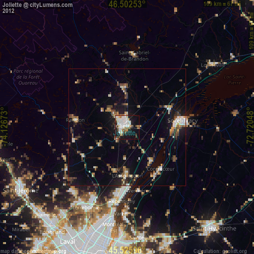
» Earth at Night: Flat Maps 2012, 2016