Repentigny night lights from space
Night Light of Repentigny (Quebec) from space (Canada) Src. Average luminocity for 10x10km area is 62.7864% and for 50x50km: 38.4812%.
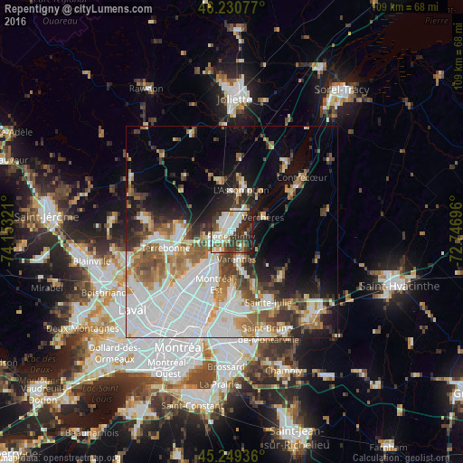
Analysis of Repentigny night lights 2016
Square area 10x10 km:
 14.55%
90-99
20.91%80-89
6.06%70-79
4.09%60-69
3.33%50-59
5.45%40-49
8.18%30-39
20.61%20-29
13.03%10-19
3.79%0-9
0%Square area 50x50 km:
13.31%90-99
7.82%80-89
2.84%70-79
3.78%60-69
4.41%50-59
4.68%40-49
3.85%30-39
4.14%20-29
5.91%10-19
8.82%0-9
40.44%Clear (daylight) street map image can be seen on geolist.org.
Map coordinates:
46° 13' 50.8" North, 74° 9' 11.6" West
45° 44' 32" North, 73° 27' 0.3" West
45° 14' 57.7" North, 72° 44' 49.1" West
Some cities around Repentigny sort by population:
• Terrebonne
16 km =9.9 mi,  252°
252°
• Boucherville
16.8 km =10.4 mi,  176°
176°
• Mascouche
11.6 km =7.2 mi,  274°
274°
• Sainte-Julie
19.9 km =12.4 mi,  152°
152°
• Varennes
6.7 km =4.2 mi,  168°
168°
• L'Assomption
9.1 km =5.7 mi,  10°
10°
• Saint-Amable
15.6 km =9.7 mi,  131°
131°
• Charlemagne
3.8 km =2.4 mi,  221°
221°
6119518 (p: 76,237)
Sources (retrieved 2019-11-25):
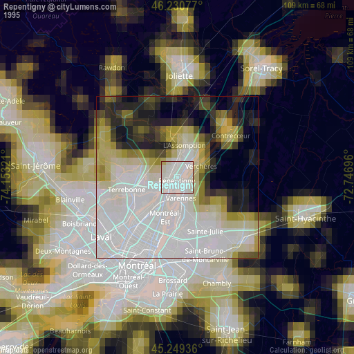
» NASA, Earths city lights 1995
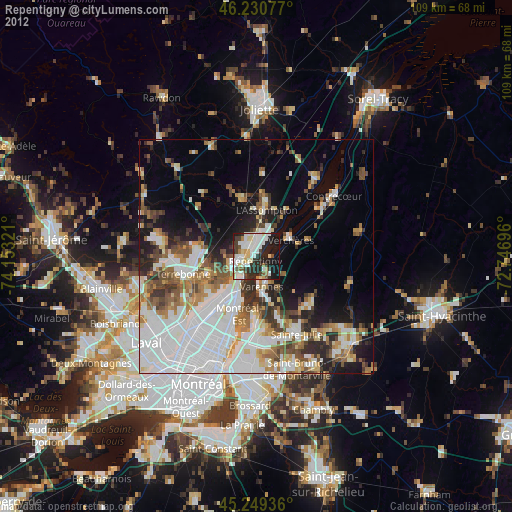
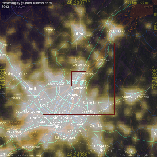
» NASA city lights 2003
» Earth at Night: Flat Maps 2012, 2016