Goderich night lights from space
Night Light of Goderich (Ontario) from space (Canada) Src. Average luminocity for 10x10km area is 8.8712% and for 50x50km: 0.7598%.
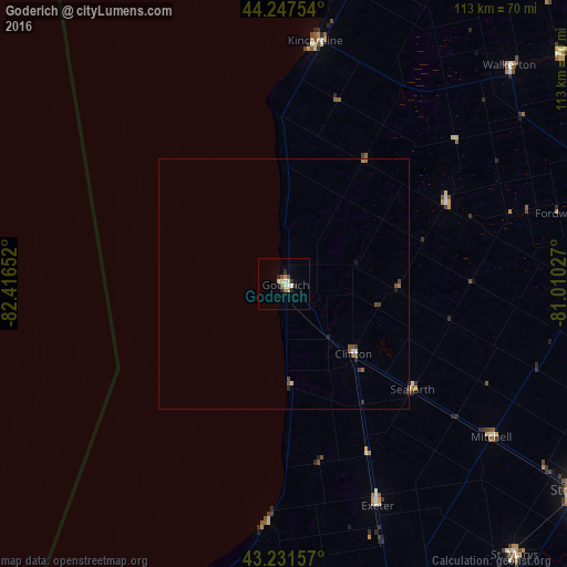
Analysis of Goderich night lights 2016
Square area 10x10 km:
 0.76%
0.76%90-99
1.36%80-89
2.12%70-79
0.91%60-69
0.91%50-59
1.21%40-49
0.61%30-39
0.76%20-29
2.27%10-19
0.61%0-9
88.48%Square area 50x50 km:
0.06%90-99
0.07%80-89
0.12%70-79
0.06%60-69
0.11%50-59
0.18%40-49
0.17%30-39
0.12%20-29
0.17%10-19
0.11%0-9
98.83%Clear (daylight) street map image can be seen on geolist.org.
Map coordinates:
44° 14' 51.1" North, 82° 24' 59.5" West
43° 44' 30.2" North, 81° 42' 48.2" West
43° 13' 53.7" North, 81° 0' 37" West
Some cities around Goderich sort by population:
• North Perth
60 km =37.3 mi,  91°
91°
• Lambton Shores
66.3 km =41.2 mi,  195°
195°
• South Huron
49.8 km =30.9 mi,  161°
161°
• Huron East
36 km =22.4 mi,  112°
112°
• Listowel
61.4 km =38.2 mi, 90°
• Hanover
70.9 km =44.1 mi,  50°
50°
• Bluewater
31.9 km =19.8 mi, 163°
• Kincardine
49.5 km =30.8 mi,  7°
7°
5962442 (p: 8,032)
Sources (retrieved 2019-11-25):
» Earth at Night: Flat Maps 2012, 2016