Cornwall night lights from space
Night Light of Cornwall (Ontario) from space (Canada) Src. Average luminocity for 10x10km area is 48.6587% and for 50x50km: 4.1552%.

Analysis of Cornwall night lights 2016
Square area 10x10 km:
 8.57%
8.57%90-99
12.7%80-89
4.76%70-79
6.67%60-69
7.3%50-59
5.4%40-49
2.7%30-39
4.6%20-29
17.62%10-19
27.46%0-9
2.22%Square area 50x50 km:
0.42%90-99
0.7%80-89
0.46%70-79
0.45%60-69
0.59%50-59
0.39%40-49
0.44%30-39
0.59%20-29
1.45%10-19
3.57%0-9
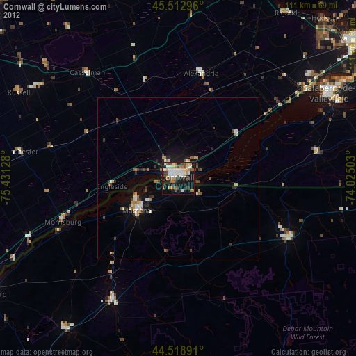
90.94%Clear (daylight) street map image can be seen on geolist.org.
Map coordinates:
45° 30' 46.7" North, 75° 25' 52.6" West
45° 1' 5.1" North, 74° 43' 41.3" West
44° 31' 8.1" North, 74° 1' 30.1" West
Some cities around Cornwall sort by population:
• Salaberry-de-Valleyfield
53.4 km =33.2 mi,  61°
61°
• Les Coteaux
48.8 km =30.3 mi,  52°
52°
• Massena, US
16.3 km =10.1 mi,  232°
232°
• Potsdam, US
43.6 km =27.1 mi,  207°
207°
• Coteau-du-Lac
53 km =32.9 mi, 53°
• Saint-Zotique
45.6 km =28.3 mi, 55°
• Canton, US
58.5 km =36.4 mi,  216°
216°
• Malone, US
39 km =24.2 mi,  118°
118°
5928065 (p: 48,821)
Sources (retrieved 2019-11-25):
» Earth at Night: Flat Maps 2012, 2016