Canton night lights from space
Night Light of Canton (New York) from space (United States) Src. Average luminocity for 10x10km area is 9.4167% and for 50x50km: 1.6714%.
Analysis of Canton night lights 2016
Square area 10x10 km:
 0.76%
0.76%90-99
1.52%80-89
2.58%70-79
1.21%60-69
1.21%50-59
0.61%40-49
1.82%30-39
0%20-29
0%10-19
0.15%0-9
90.15%Square area 50x50 km:
0.14%90-99
0.39%80-89
0.19%70-79
0.15%60-69
0.14%50-59
0.21%40-49
0.28%30-39
0.14%20-29
0.3%10-19
0.48%0-9
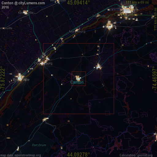
97.58%Clear (daylight) street map image can be seen on geolist.org.
Map coordinates:
45° 5' 38.9" North, 75° 52' 20" West
44° 35' 44.2" North, 75° 10' 8.7" West
44° 5' 34" North, 74° 27' 57.5" West
Some cities around Canton sort by population:
• Cornwall, CA
58.5 km =36.4 mi,  36°
36°
• Brockville, CA
41 km =25.5 mi,  269°
269°
• Fort Drum
76.1 km =47.3 mi,  218°
218°
• Ogdensburg
27.4 km =17 mi,  293°
293°
• Massena
43 km =26.7 mi,  30°
30°
• Potsdam
17 km =10.6 mi,  60°
60°
• Smiths Falls, CA
75.7 km =47 mi,  296°
296°
• Malone
74.6 km =46.4 mi,  67°
67°
5111484 (p: 6,570)
Sources (retrieved 2019-11-25):
» Earth at Night: Flat Maps 2012, 2016