Ponoka night lights from space
Night Light of Ponoka (Alberta) from space (Canada) Src. Average luminocity for 10x10km area is 8.0265% and for 50x50km: 1.0362%.
Analysis of Ponoka night lights 2016
Square area 10x10 km:
 0.79%
0.79%90-99
0.4%80-89
1.19%70-79
0.79%60-69
1.59%50-59
1.85%40-49
1.85%30-39
2.12%20-29
0%10-19
0.53%0-9
88.89%Square area 50x50 km:
0.1%90-99
0.07%80-89
0.11%70-79
0.11%60-69
0.23%50-59
0.2%40-49
0.19%30-39
0.31%20-29
0.16%10-19
0.23%0-9
98.3%Clear (daylight) street map image can be seen on geolist.org.
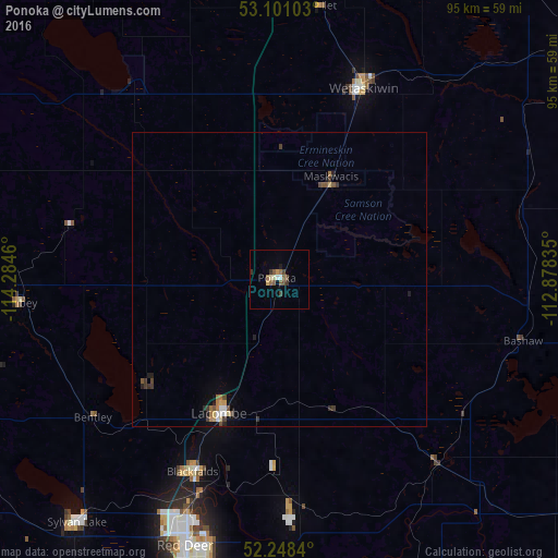
Map coordinates:
53° 6' 3.7" North, 114° 17' 4.6" West
52° 40' 36.5" North, 113° 34' 53.3" West
52° 14' 54.2" North, 112° 52' 42.1" West
Some cities around Ponoka sort by population:
• Red Deer
48 km =29.8 mi,  198°
198°
• Camrose
62.8 km =39 mi,  52°
52°
• Leduc
65.6 km =40.8 mi,  1°
1°
• Wetaskiwin
35.3 km =21.9 mi,  23°
23°
• Sylvan Lake
53 km =32.9 mi,  219°
219°
• Lacombe
25.6 km =15.9 mi, 203°
• Beaumont
75.7 km =47 mi,  8°
8°
• Stettler
70.8 km =44 mi,  124°
124°
6109273 (p: 6,656)
Sources (retrieved 2019-11-25):
» Earth at Night: Flat Maps 2012, 2016