Polatsk night lights from space
Night Light of Polatsk (Vitebsk) from space (Belarus) Src. Average luminocity for 10x10km area is 25.188% and for 50x50km: 2.649%.
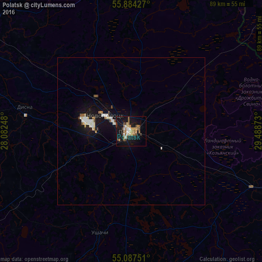
Analysis of Polatsk night lights 2016
Square area 10x10 km:
 2.51%
2.51%90-99
3.01%80-89
3.01%70-79
3.51%60-69
5.89%50-59
3.88%40-49
4.26%30-39
1.5%20-29
0.25%10-19
36.34%0-9
35.84%Square area 50x50 km:
0.39%90-99
0.47%80-89
0.3%70-79
0.18%60-69
0.37%50-59
0.29%40-49
0.32%30-39
0.06%20-29
0.05%10-19
3.44%0-9
94.12%Clear (daylight) street map image can be seen on geolist.org.
Map coordinates:
55° 53' 3.4" North, 28° 4' 56.9" East
55° 29' 16.4" North, 28° 47' 8.2" East
55° 5' 15" North, 29° 29' 19.4" East
Some cities around Polatsk sort by population:
• Navapolatsk
12.7 km =7.9 mi,  292°
292°
• Lyepyel’
67.7 km =42.1 mi,  184°
184°
• Haradok
75.6 km =47 mi,  92°
92°
• Chashniki
73.9 km =45.9 mi,  161°
161°
• Myory
74.3 km =46.2 mi,  281°
281°
• Vyerkhnyadzvinsk
62.1 km =38.6 mi,  301°
301°
• Ushachy
36 km =22.4 mi,  197°
197°
• Rasony
46.5 km =28.9 mi,  2°
2°
623317 (p: 82,258)
Sources (retrieved 2019-11-25):
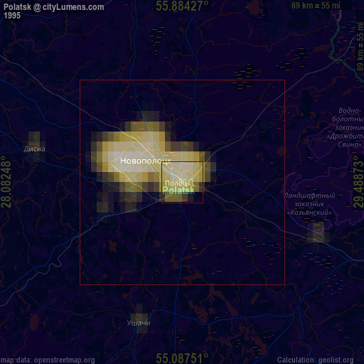
» NASA, Earths city lights 1995
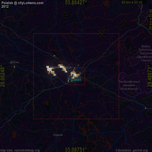
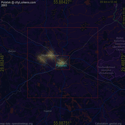
» NASA city lights 2003
» Earth at Night: Flat Maps 2012, 2016