Salihorsk night lights from space
Night Light of Salihorsk (Minsk) from space (Belarus) Src. Average luminocity for 10x10km area is 17.4053% and for 50x50km: 1.2801%.
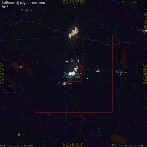
Analysis of Salihorsk night lights 2016
Square area 10x10 km:
 4.92%
4.92%90-99
5.18%80-89
1.01%70-79
0%60-69
0.51%50-59
0.51%40-49
1.01%30-39
0.63%20-29
1.14%10-19
17.8%0-9
67.3%Square area 50x50 km:
0.27%90-99
0.3%80-89
0.08%70-79
0.05%60-69
0.06%50-59
0.14%40-49
0.09%30-39
0.05%20-29
0.22%10-19
0.96%0-9
97.78%Clear (daylight) street map image can be seen on geolist.org.
Map coordinates:
53° 12' 38.7" North, 26° 50' 18.2" East
52° 47' 15.4" North, 27° 32' 29.4" East
52° 21' 37" North, 28° 14' 40.7" East
Some cities around Salihorsk sort by population:
• Slutsk
26.7 km =16.6 mi,  2°
2°
• Mikashevichy
63.6 km =39.5 mi,  183°
183°
• Zhytkavichy
66.9 km =41.6 mi,  161°
161°
• Kapyl’
50.5 km =31.4 mi,  323°
323°
• Lyuban’
31.2 km =19.4 mi,  87°
87°
• Staryya Darohi
56.2 km =34.9 mi,  59°
59°
• Klyetsk
68.2 km =42.4 mi,  296°
296°
• Starobin
8.7 km =5.4 mi,  218°
218°
622428 (p: 101,614)
Sources (retrieved 2019-11-25):
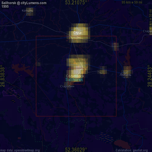
» NASA, Earths city lights 1995
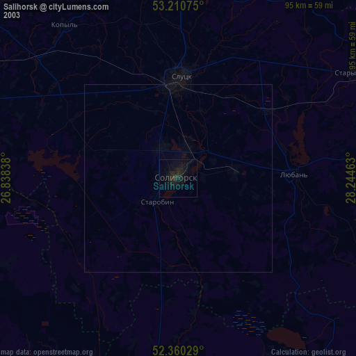
» NASA city lights 2003
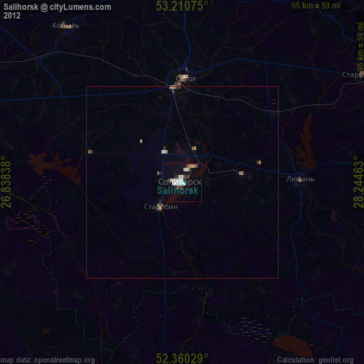
» Earth at Night: Flat Maps 2012, 2016