Starobin night lights from space
Night Light of Starobin (Minsk) from space (Belarus) Src. Average luminocity for 10x10km area is 2.8561% and for 50x50km: 1.0617%.
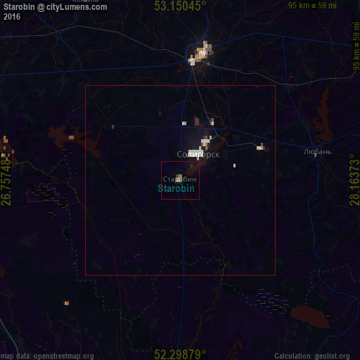
Analysis of Starobin night lights 2016
Square area 10x10 km:
 0%
0%90-99
0%80-89
0%70-79
0%60-69
0.76%50-59
1.26%40-49
0.51%30-39
0%20-29
0.88%10-19
1.89%0-9
94.7%Square area 50x50 km:
0.23%90-99
0.27%80-89
0.06%70-79
0.03%60-69
0.06%50-59
0.07%40-49
0.09%30-39
0.05%20-29
0.2%10-19
0.78%0-9
98.15%Clear (daylight) street map image can be seen on geolist.org.
Map coordinates:
53° 9' 1.6" North, 26° 45' 26.9" East
52° 43' 36.1" North, 27° 27' 38.2" East
52° 17' 55.6" North, 28° 9' 49.4" East
Some cities around Starobin sort by population:
• Salihorsk
8.7 km =5.4 mi,  38°
38°
• Slutsk
34.1 km =21.2 mi,  11°
11°
• Mikashevichy
56.6 km =35.2 mi,  178°
178°
• Zhytkavichy
62.7 km =39 mi,  154°
154°
• Kapyl’
53.3 km =33.1 mi,  332°
332°
• Lyuban’
37.5 km =23.3 mi,  77°
77°
• Staryya Darohi
64.4 km =40 mi,  57°
57°
• Klyetsk
67 km =41.6 mi,  303°
303°
621462 (p: 6,000)
Sources (retrieved 2019-11-25):
» Earth at Night: Flat Maps 2012, 2016