Klyetsk night lights from space
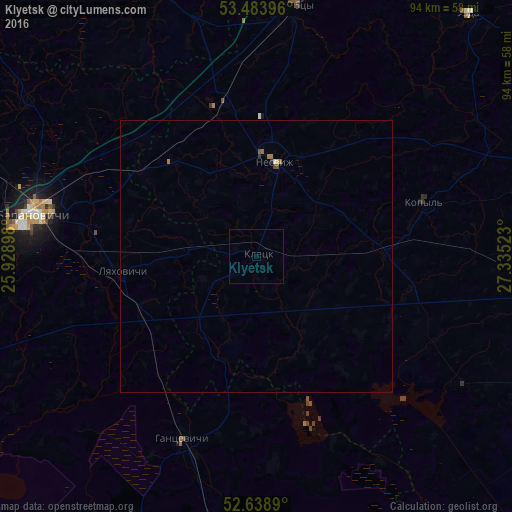
Night Light of Klyetsk (Minsk) from space (Belarus) Src. Average luminocity for 10x10km area is 0% and for 50x50km: 0.1652%.
Analysis of Klyetsk night lights 2016
Square area 10x10 km:
 0%
0%90-99
0%80-89
0%70-79
0%60-69
0%50-59
0%40-49
0%30-39
0%20-29
0%10-19
0%0-9
100%Square area 50x50 km:
0.02%90-99
0.01%80-89
0.02%70-79
0%60-69
0.09%50-59
0.05%40-49
0.03%30-39
0.02%20-29
0.03%10-19
0%0-9
99.76%Clear (daylight) street map image can be seen on geolist.org.
Map coordinates:
53° 29' 2.3" North, 25° 55' 44.3" East
53° 3' 48.6" North, 26° 37' 55.6" East
52° 38' 20" North, 27° 20' 6.8" East
Some cities around Klyetsk sort by population:
• Baranovichi
42 km =26.1 mi,  280°
280°
• Slutsk
62.1 km =38.6 mi,  93°
93°
• Stowbtsy
46.7 km =29 mi,  9°
9°
• Hantsavichy
36.6 km =22.7 mi,  201°
201°
• Nyasvizh
17.5 km =10.9 mi, 10°
• Lyakhavichy
24.6 km =15.3 mi,  263°
263°
• Kapyl’
32.2 km =20 mi,  72°
72°
• Uzda
58.9 km =36.6 mi,  41°
41°
627214 (p: 9,641)
Sources (retrieved 2019-11-25):
» Earth at Night: Flat Maps 2012, 2016