Chyst’ night lights from space
Night Light of Chyst’ (Minsk) from space (Belarus) Src. Average luminocity for 10x10km area is 0.5777% and for 50x50km: 1.0046%.
Analysis of Chyst’ night lights 2016
Square area 10x10 km:
 0%
0%90-99
0%80-89
0%70-79
0%60-69
0%50-59
0.5%40-49
0.5%30-39
0%20-29
0%10-19
0%0-9
99%Square area 50x50 km:
0.18%90-99
0.22%80-89
0.09%70-79
0.08%60-69
0.03%50-59
0.13%40-49
0.16%30-39
0.11%20-29
0.02%10-19
0.95%0-9
98.04%Clear (daylight) street map image can be seen on geolist.org.
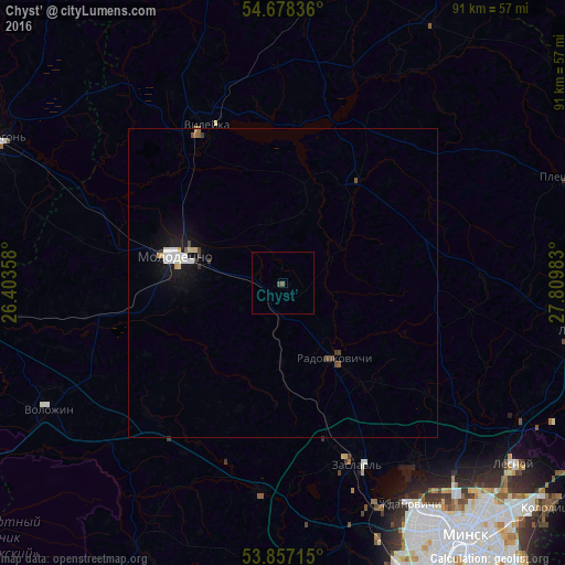
Map coordinates:
54° 40' 42.1" North, 26° 24' 12.9" East
54° 16' 11.3" North, 27° 6' 24.1" East
53° 51' 25.7" North, 27° 48' 35.4" East
Some cities around Chyst’ sort by population:
• Maladzyechna
17.2 km =10.7 mi,  287°
287°
• Vilyeyka
27.7 km =17.2 mi,  332°
332°
• Lyasny
48.2 km =30 mi,  127°
127°
• Zaslawye
30.6 km =19 mi,  159°
159°
• Lahoysk
48.9 km =30.4 mi,  98°
98°
• Valozhyn
42.8 km =26.6 mi,  241°
241°
• Rakaw
33.8 km =21 mi,  185°
185°
• Radashkovichy
15.4 km =9.6 mi,  145°
145°
8247399 (p: 5,300)
Sources (retrieved 2019-11-25):
» Earth at Night: Flat Maps 2012, 2016