Maladzyechna night lights from space
Night Light of Maladzyechna (Minsk) from space (Belarus) Src. Average luminocity for 10x10km area is 19.7794% and for 50x50km: 1.0316%.
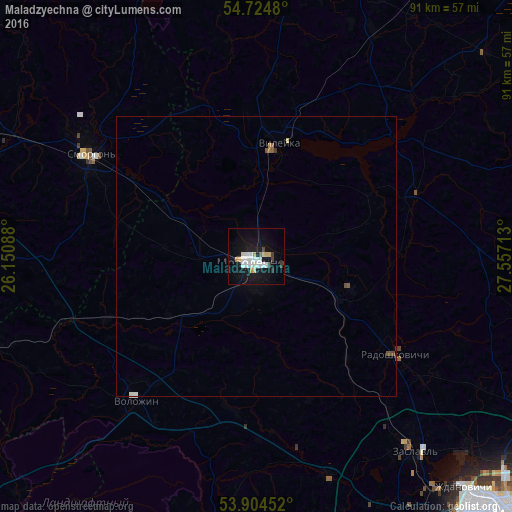
Analysis of Maladzyechna night lights 2016
Square area 10x10 km:
 4.51%
4.51%90-99
5.51%80-89
2.13%70-79
1.88%60-69
0%50-59
0.5%40-49
0.75%30-39
1.75%20-29
0.5%10-19
23.31%0-9
59.15%Square area 50x50 km:
0.2%90-99
0.24%80-89
0.11%70-79
0.09%60-69
0.03%50-59
0.1%40-49
0.13%30-39
0.1%20-29
0.02%10-19
0.95%0-9
98.05%Clear (daylight) street map image can be seen on geolist.org.
Map coordinates:
54° 43' 29.3" North, 26° 9' 3.2" East
54° 19' 0.1" North, 26° 51' 14.4" East
53° 54' 16.3" North, 27° 33' 25.7" East
Some cities around Maladzyechna sort by population:
• Smarhon’
34.8 km =21.6 mi,  301°
301°
• Vilyeyka
19.8 km =12.3 mi,  10°
10°
• Zaslawye
43.4 km =27 mi,  141°
141°
• Valozhyn
33.1 km =20.6 mi,  220°
220°
• Vishnyeva
48.7 km =30.3 mi,  333°
333°
• Rakaw
41 km =25.5 mi,  161°
161°
• Radashkovichy
30.9 km =19.2 mi,  125°
125°
• Chyst’
17.2 km =10.7 mi,  107°
107°
625625 (p: 101,300)
Sources (retrieved 2019-11-25):
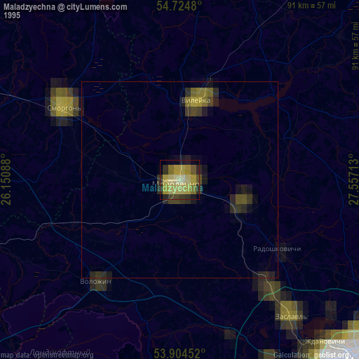
» NASA, Earths city lights 1995
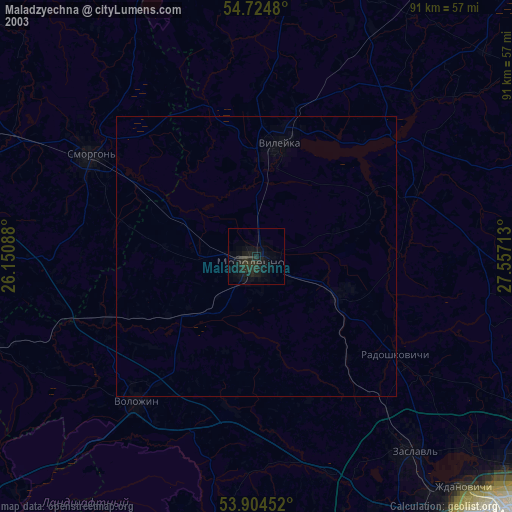
» NASA city lights 2003
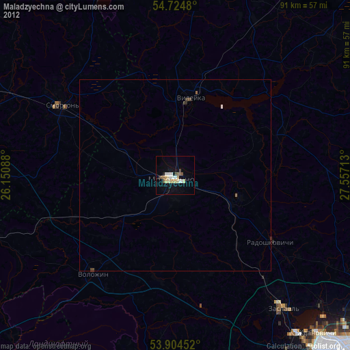
» Earth at Night: Flat Maps 2012, 2016