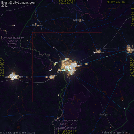
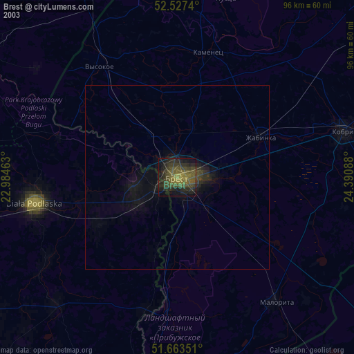
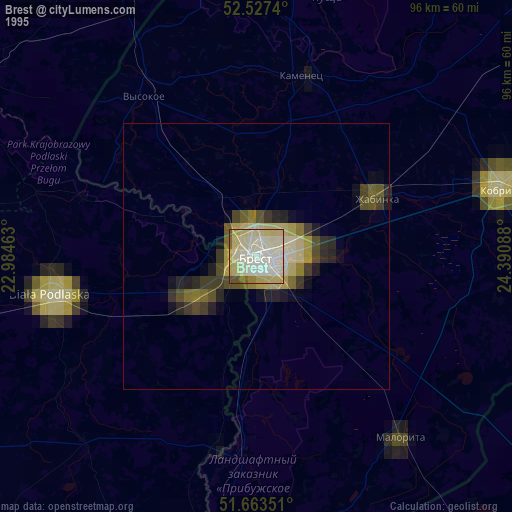
Brest night lights from space
Night Light of Brest from space (Belarus) Src. Average luminocity for 10x10km area is 63.1759% and for 50x50km: 4.5858%.
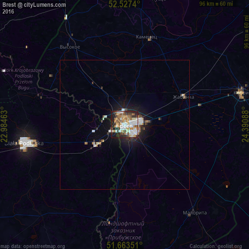
Analysis of Brest night lights 2016
Square area 10x10 km:
 15.34%
90-99
14.68%80-89
7.01%70-79
8.86%60-69
12.57%50-59
7.67%40-49
6.22%30-39
4.5%20-29
12.17%10-19
10.71%0-9
0.26%Square area 50x50 km:
0.85%90-99
0.92%80-89
0.39%70-79
0.51%60-69
0.62%50-59
0.48%40-49
0.45%30-39
0.44%20-29
1.3%10-19
3.08%0-9
90.96%Clear (daylight) street map image can be seen on geolist.org.
Map coordinates:
52° 31' 38.6" North, 22° 59' 4.7" East
52° 5' 51.2" North, 23° 41' 15.9" East
51° 39' 48.6" North, 24° 23' 27.2" East
Some cities around Brest sort by population:
• Biała Podlaska, PL
39.7 km =24.7 mi,  259°
259°
• Kobryn
47.4 km =29.5 mi,  74°
74°
• Międzyrzec Podlaski, PL
63.1 km =39.2 mi, 258°
• Włodawa, PL
61.6 km =38.3 mi,  188°
188°
• Zhabinka
24.8 km =15.4 mi,  63°
63°
• Malaryta
43.2 km =26.8 mi,  142°
142°
• Kamyanyets
34.7 km =21.6 mi,  13°
13°
• Terespol, PL
5.5 km =3.4 mi,  243°
243°
629634 (p: 300,715)
Sources (retrieved 2019-11-25):
» NASA, Earths city lights 1995
» NASA city lights 2003
» Earth at Night: Flat Maps 2012, 2016