Thimphu night lights from space
Night Light of Thimphu from space (Bhutan) Src. Average luminocity for 10x10km area is 33.5635% and for 50x50km: 2.5617%.
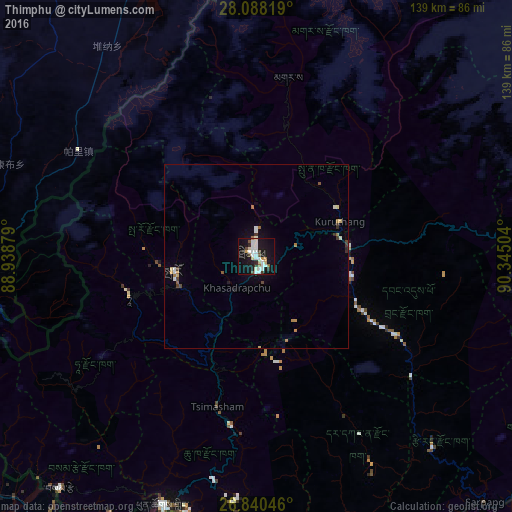
Analysis of Thimphu night lights 2016
Square area 10x10 km:
 10.52%
90-99
6.75%80-89
3.37%70-79
1.19%60-69
1.98%50-59
1.79%40-49
3.37%30-39
2.78%20-29
2.58%10-19
43.06%0-9
22.62%Square area 50x50 km:
0.47%90-99
0.42%80-89
0.26%70-79
0.15%60-69
0.33%50-59
0.19%40-49
0.29%30-39
0.28%20-29
0.27%10-19
2.02%0-9
95.3%Clear (daylight) street map image can be seen on geolist.org.
Map coordinates:
28° 5' 17.5" North, 88° 56' 19.6" East
27° 27' 57.9" North, 89° 38' 30.9" East
26° 50' 25.7" North, 90° 20' 42.1" East
Some cities around Thimphu sort by population:
• Punākha
27.1 km =16.8 mi,  59°
59°
• Wangdue Phodrang
25.5 km =15.8 mi,  84°
84°
• Tsimasham
42.1 km =26.2 mi,  194°
194°
• Daga
49.3 km =30.6 mi,  151°
151°
• Paro
22.9 km =14.2 mi,  260°
260°
• Ha
36.7 km =22.8 mi, 256°
• Gasa
49.4 km =30.7 mi,  9°
9°
• Lungtenzampa
0.3 km =0.2 mi,  46°
46°
1252416 (p: 98,676)
Sources (retrieved 2019-11-25):
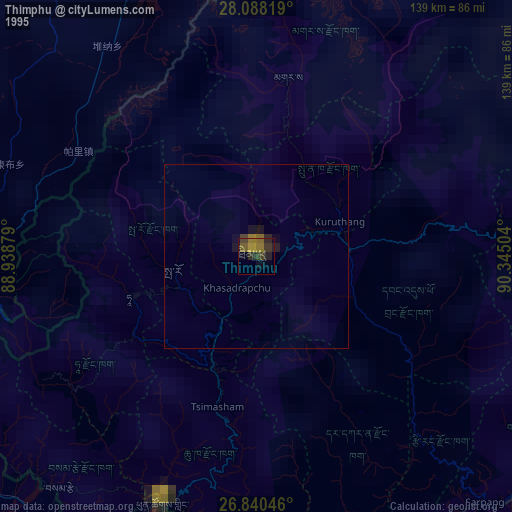
» NASA, Earths city lights 1995
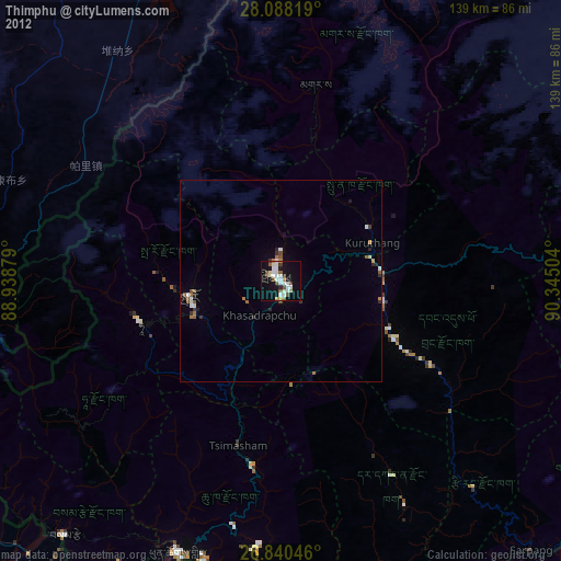
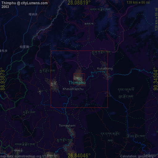
» NASA city lights 2003
» Earth at Night: Flat Maps 2012, 2016