Punākha night lights from space
Night Light of Punākha (Punakha) from space (Bhutan) Src. Average luminocity for 10x10km area is 3% and for 50x50km: 2.1058%.
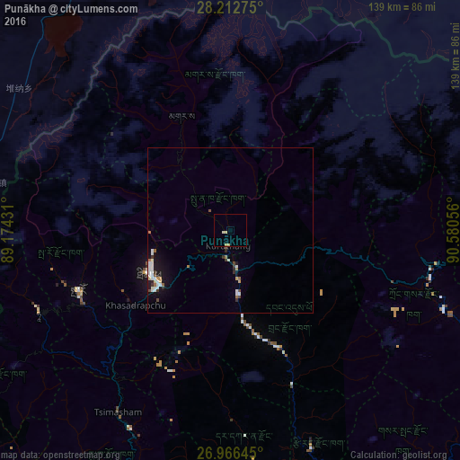
Analysis of Punākha night lights 2016
Square area 10x10 km:
 0%
0%90-99
0.79%80-89
1.39%70-79
0.2%60-69
0.79%50-59
0%40-49
0%30-39
0%20-29
0%10-19
0%0-9
96.83%Square area 50x50 km:
0.52%90-99
0.38%80-89
0.19%70-79
0.07%60-69
0.3%50-59
0.12%40-49
0.21%30-39
0.28%20-29
0.15%10-19
1.41%0-9
96.36%Clear (daylight) street map image can be seen on geolist.org.
Map coordinates:
28° 12' 45.9" North, 89° 10' 27.5" East
27° 35' 28.9" North, 89° 52' 38.7" East
26° 57' 59.2" North, 90° 34' 50" East
Some cities around Punākha sort by population:
• Thimphu
27.1 km =16.8 mi,  239°
239°
• Wangdue Phodrang
11.9 km =7.4 mi,  169°
169°
• Trongsa
62.9 km =39.1 mi,  99°
99°
• Daga
57.4 km =35.7 mi,  180°
180°
• Paro
49.1 km =30.5 mi,  248°
248°
• Ha
63.1 km =39.2 mi, 248°
• Gasa
37.8 km =23.5 mi,  336°
336°
• Lungtenzampa
26.7 km =16.6 mi, 239°
1252479 (p: 21,500)
Sources (retrieved 2019-11-25):
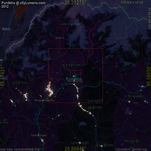
» Earth at Night: Flat Maps 2012, 2016