Ha night lights from space
Night Light of Ha (Haa) from space (Bhutan) Src. Average luminocity for 10x10km area is 2.6004% and for 50x50km: 0.5422%.
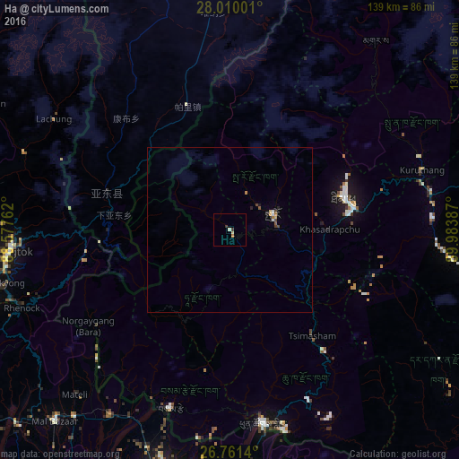
Analysis of Ha night lights 2016
Square area 10x10 km:
 0%
0%90-99
0.76%80-89
0.76%70-79
0%60-69
0.76%50-59
0%40-49
0%30-39
1.52%20-29
0%10-19
0%0-9
96.21%Square area 50x50 km:
0.02%90-99
0.1%80-89
0.1%70-79
0.05%60-69
0.09%50-59
0.06%40-49
0.12%30-39
0.09%20-29
0.08%10-19
0.04%0-9
99.24%Clear (daylight) street map image can be seen on geolist.org.
Map coordinates:
28° 0' 36" North, 88° 34' 39.4" East
27° 23' 14.9" North, 89° 16' 50.7" East
26° 45' 41" North, 89° 59' 1.9" East
Some cities around Ha sort by population:
• Jaigaon, IN
60.8 km =37.8 mi,  171°
171°
• Thimphu
36.7 km =22.8 mi,  76°
76°
• Phuntsholing
60.5 km =37.6 mi, 169°
• Wangdue Phodrang
62 km =38.5 mi, 79°
• Samtse
57.2 km =35.5 mi,  198°
198°
• Tsimasham
40.8 km =25.4 mi,  141°
141°
• Paro
13.9 km =8.6 mi,  69°
69°
• Lungtenzampa
37 km =23 mi, 75°
1252563 (p: 1,449)
Sources (retrieved 2019-11-25):
» Earth at Night: Flat Maps 2012, 2016