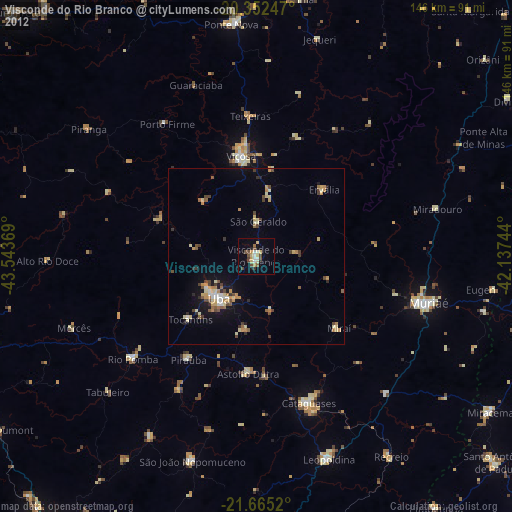
Visconde do Rio Branco night lights from space
Night Light of Visconde do Rio Branco (Minas Gerais) from space (Brazil) Src. Average luminocity for 10x10km area is 25.4266% and for 50x50km: 7.5808%.

Analysis of Visconde do Rio Branco night lights 2016
Square area 10x10 km:
 3.37%
3.37%90-99
2.98%80-89
3.77%70-79
4.17%60-69
4.17%50-59
1.79%40-49
3.17%30-39
2.38%20-29
2.78%10-19
29.56%0-9
41.87%Square area 50x50 km:
0.75%90-99
0.64%80-89
0.63%70-79
1.6%60-69
1.44%50-59
0.61%40-49
1.14%30-39
1.04%20-29
1.22%10-19
5.58%0-9
85.35%Clear (daylight) street map image can be seen on geolist.org.
Map coordinates:
20° 21' 8.9" South, 43° 32' 37.3" West
21° 0' 37" South, 42° 50' 26" West
21° 39' 54.7" South, 42° 8' 14.8" West
Some cities around Visconde do Rio Branco sort by population:
• Ubá
16.2 km =10.1 mi,  221°
221°
• Muriaé
51 km =31.7 mi,  105°
105°
• Viçosa
28.8 km =17.9 mi,  351°
351°
• Cataguases
44.7 km =27.8 mi,  160°
160°
• Rio Pomba
45.8 km =28.5 mi,  230°
230°
• Tocantins
26 km =16.2 mi, 225°
• Astolfo Dutra
34 km =21.1 mi,  183°
183°
• Miraí
31.2 km =19.4 mi,  131°
131°
3444969 (p: 29,009)
Sources (retrieved 2019-11-25):
» Earth at Night: Flat Maps 2012, 2016