Ubá night lights from space
Night Light of Ubá (Minas Gerais) from space (Brazil) Src. Average luminocity for 10x10km area is 50.1012% and for 50x50km: 7.5122%.
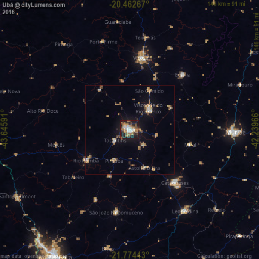
Analysis of Ubá night lights 2016
Square area 10x10 km:
 10.32%
90-99
5.56%80-89
3.17%70-79
9.92%60-69
14.88%50-59
4.76%40-49
5.16%30-39
9.13%20-29
11.9%10-19
25.2%0-9
0%Square area 50x50 km:
0.8%90-99
0.62%80-89
0.72%70-79
1.49%60-69
1.39%50-59
0.74%40-49
1.15%30-39
1.12%20-29
1.1%10-19
4.9%0-9
85.98%Clear (daylight) street map image can be seen on geolist.org.
Map coordinates:
20° 27' 45.6" South, 43° 38' 45.3" West
21° 7' 12" South, 42° 56' 34" West
21° 46' 27.9" South, 42° 14' 22.8" West
Some cities around Ubá sort by population:
• Viçosa
41.2 km =25.6 mi,  8°
8°
• Cataguases
39.3 km =24.4 mi,  139°
139°
• Visconde do Rio Branco
16.2 km =10.1 mi,  41°
41°
• Rio Pomba
29.9 km =18.6 mi,  234°
234°
• Tocantins
9.9 km =6.2 mi, 231°
• Astolfo Dutra
23.3 km =14.5 mi,  158°
158°
• Miraí
35.1 km =21.8 mi,  103°
103°
• Rio Novo
44 km =27.3 mi,  205°
205°
3445859 (p: 97,828)
Sources (retrieved 2019-11-25):
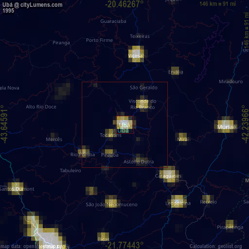
» NASA, Earths city lights 1995
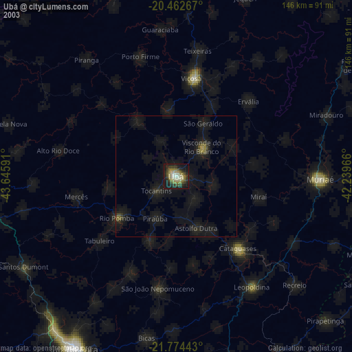
» NASA city lights 2003
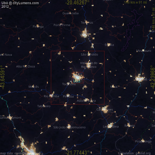
» Earth at Night: Flat Maps 2012, 2016