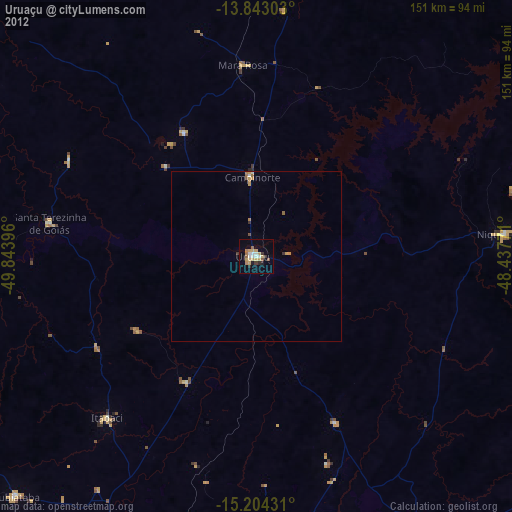
Uruaçu night lights from space
Night Light of Uruaçu (Goiás) from space (Brazil) Src. Average luminocity for 10x10km area is 26.2922% and for 50x50km: 1.5744%.
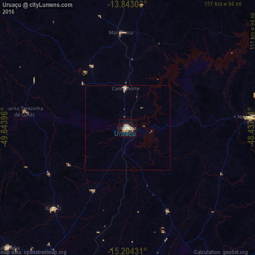
Analysis of Uruaçu night lights 2016
Square area 10x10 km:
 1.08%
1.08%90-99
4.33%80-89
3.9%70-79
10.39%60-69
1.95%50-59
0.87%40-49
3.03%30-39
1.95%20-29
3.03%10-19
20.78%0-9
48.7%Square area 50x50 km:
0.06%90-99
0.25%80-89
0.16%70-79
0.6%60-69
0.08%50-59
0.11%40-49
0.21%30-39
0.15%20-29
0.19%10-19
0.79%0-9
97.4%Clear (daylight) street map image can be seen on geolist.org.
Map coordinates:
13° 50' 34.9" South, 49° 50' 38.3" West
14° 31' 29" South, 49° 8' 27" West
15° 12' 15.5" South, 48° 26' 15.8" West
Some cities around Uruaçu sort by population:
• Goianésia
88.2 km =54.8 mi,  178°
178°
• Niquelândia
73.5 km =45.7 mi,  85°
85°
• Ceres
100 km =62.1 mi,  209°
209°
• Rubiataba
100.6 km =62.5 mi,  225°
225°
• Itapaci
64.6 km =40.1 mi,  222°
222°
• Crixás
89.2 km =55.4 mi,  268°
268°
• Rialma
100 km =62.1 mi, 208°
• Barro Alto
55.2 km =34.3 mi,  153°
153°
3445713 (p: 30,088)
Sources (retrieved 2019-11-25):
» Earth at Night: Flat Maps 2012, 2016