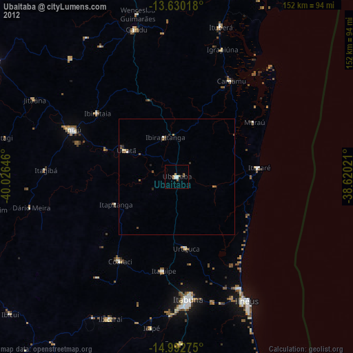
Ubaitaba night lights from space
Night Light of Ubaitaba (Bahia) from space (Brazil) Src. Average luminocity for 10x10km area is 9.6169% and for 50x50km: 0.9733%.
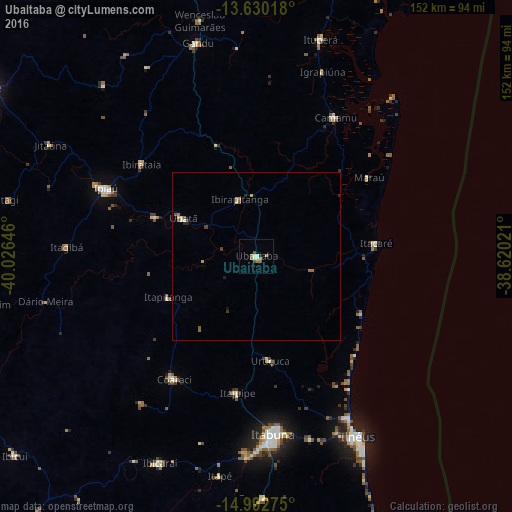
Analysis of Ubaitaba night lights 2016
Square area 10x10 km:
 1.08%
1.08%90-99
2.38%80-89
0%70-79
1.3%60-69
3.03%50-59
1.73%40-49
0.87%30-39
0.22%20-29
0.65%10-19
0%0-9
88.74%Square area 50x50 km:
0.04%90-99
0.17%80-89
0.06%70-79
0.21%60-69
0.21%50-59
0.25%40-49
0.1%30-39
0.09%20-29
0.18%10-19
0.07%0-9
98.63%Clear (daylight) street map image can be seen on geolist.org.
Map coordinates:
13° 37' 48.6" South, 40° 1' 35.3" West
14° 18' 45" South, 39° 19' 24" West
14° 59' 33.9" South, 38° 37' 12.8" West
Some cities around Ubaitaba sort by population:
• Coaraci
44 km =27.3 mi,  213°
213°
• Uruçuca
31.5 km =19.6 mi,  172°
172°
• Ibirataia
43.8 km =27.2 mi,  308°
308°
• Ubatã
24.7 km =15.3 mi,  297°
297°
• Itajuípe
41 km =25.5 mi,  187°
187°
• Camamu
47.2 km =29.3 mi,  30°
30°
• Itacaré
35.5 km =22.1 mi,  83°
83°
• Ibirapitanga
17.4 km =10.8 mi,  341°
341°
3445853 (p: 28,375)
Sources (retrieved 2019-11-25):
» Earth at Night: Flat Maps 2012, 2016