Ibirataia night lights from space
Night Light of Ibirataia (Bahia) from space (Brazil) Src. Average luminocity for 10x10km area is 4.487% and for 50x50km: 1.8232%.
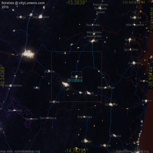
Analysis of Ibirataia night lights 2016
Square area 10x10 km:
100  0%
0%
90-99 0.87%
80-89 1.73%
70-79 0%
60-69 1.73%
50-59 0%
40-49 0%
30-39 0.43%
20-29 1.3%
10-19 0%
0-9 93.94%
0%90-99
0.87%80-89
1.73%70-79
0%60-69
1.73%50-59
0%40-49
0%30-39
0.43%20-29
1.3%10-19
0%0-9
93.94%Square area 50x50 km:
100 0.15%
90-99 0.37%
80-89 0.22%
70-79 0.14%
60-69 0.31%
50-59 0.28%
40-49 0.17%
30-39 0.33%
20-29 0.28%
10-19 0.48%
0-9 97.27%
0.15%90-99
0.37%80-89
0.22%70-79
0.14%60-69
0.31%50-59
0.28%40-49
0.17%30-39
0.33%20-29
0.28%10-19
0.48%0-9
97.27%Clear (daylight) street map image can be seen on geolist.org.
Map coordinates:
13° 23' 2" South, 40° 20' 37.3" West
14° 4' 1" South, 39° 38' 26" West
14° 44' 52.6" South, 38° 56' 14.8" West
Some cities around Ibirataia sort by population:
• Jequié
53.3 km =33.1 mi,  295°
295°
• Ipiaú
13 km =8.1 mi,  234°
234°
• Ubaitaba
43.8 km =27.2 mi,  128°
128°
• Gandu
39.6 km =24.6 mi,  24°
24°
• Ubatã
20 km =12.4 mi,  142°
142°
• Jitaúna
28.5 km =17.7 mi,  282°
282°
• Itagi
40.8 km =25.4 mi,  254°
254°
• Itagibá
32.5 km =20.2 mi,  222°
222°
3461565 (p: 19,942)
Sources (retrieved 2019-11-25):
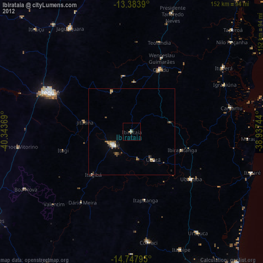
» Earth at Night: Flat Maps 2012, 2016