Ubatã night lights from space
Night Light of Ubatã (Bahia) from space (Brazil) Src. Average luminocity for 10x10km area is 6.8961% and for 50x50km: 2.1421%.
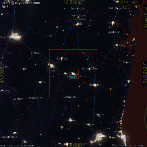
Analysis of Ubatã night lights 2016
Square area 10x10 km:
 0%
0%90-99
1.95%80-89
0.65%70-79
0.87%60-69
0.65%50-59
1.95%40-49
0.87%30-39
0.43%20-29
2.16%10-19
0%0-9
90.48%Square area 50x50 km:
0.19%90-99
0.46%80-89
0.22%70-79
0.25%60-69
0.34%50-59
0.38%40-49
0.23%30-39
0.34%20-29
0.27%10-19
0.37%0-9
96.95%Clear (daylight) street map image can be seen on geolist.org.
Map coordinates:
13° 31' 35.1" South, 40° 13' 46.3" West
14° 12' 32.6" South, 39° 31' 35.1" West
14° 53' 22.7" South, 38° 49' 23.8" West
Some cities around Ubatã sort by population:
• Ipiaú
24.4 km =15.2 mi,  289°
289°
• Coaraci
48.1 km =29.9 mi,  183°
183°
• Ubaitaba
24.7 km =15.3 mi,  117°
117°
• Uruçuca
50 km =31.1 mi,  148°
148°
• Ibirataia
20 km =12.4 mi,  322°
322°
• Jitaúna
45.7 km =28.4 mi,  298°
298°
• Itagibá
35.1 km =21.8 mi,  256°
256°
• Ibirapitanga
17.2 km =10.7 mi,  73°
73°
3445849 (p: 15,604)
Sources (retrieved 2019-11-25):
» Earth at Night: Flat Maps 2012, 2016