Ibirapitanga night lights from space
Night Light of Ibirapitanga (Bahia) from space (Brazil) Src. Average luminocity for 10x10km area is 3.8139% and for 50x50km: 1.0889%.
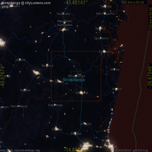
Analysis of Ibirapitanga night lights 2016
Square area 10x10 km:
 0%
0%90-99
0%80-89
0.87%70-79
2.38%60-69
0.22%50-59
0.87%40-49
0%30-39
0%20-29
0.87%10-19
0%0-9
94.81%Square area 50x50 km:
0.04%90-99
0.22%80-89
0.08%70-79
0.21%60-69
0.22%50-59
0.24%40-49
0.13%30-39
0.09%20-29
0.18%10-19
0.09%0-9
98.5%Clear (daylight) street map image can be seen on geolist.org.
Map coordinates:
13° 28' 53.1" South, 40° 4' 36.3" West
14° 9' 51" South, 39° 22' 25" West
14° 50' 41.6" South, 38° 40' 13.8" West
Some cities around Ibirapitanga sort by population:
• Ipiaú
39.6 km =24.6 mi,  274°
274°
• Ubaitaba
17.4 km =10.8 mi,  161°
161°
• Uruçuca
48.6 km =30.2 mi,  168°
168°
• Gandu
48.3 km =30 mi,  345°
345°
• Ubatã
17.2 km =10.7 mi,  253°
253°
• Camamu
38 km =23.6 mi,  50°
50°
• Itacaré
42.7 km =26.5 mi,  107°
107°
• Itagibá
52.3 km =32.5 mi,  255°
255°
3461572 (p: 7,302)
Sources (retrieved 2019-11-25):
» Earth at Night: Flat Maps 2012, 2016