Torres night lights from space
Night Light of Torres (Rio Grande do Sul) from space (Brazil) Src. Average luminocity for 10x10km area is 28.0682% and for 50x50km: 4.9524%.
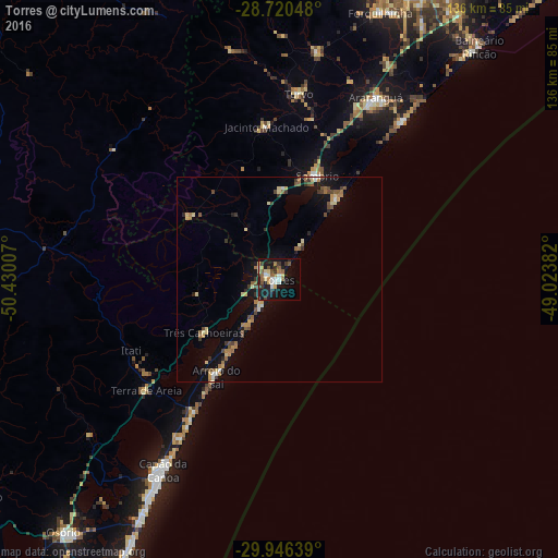
Analysis of Torres night lights 2016
Square area 10x10 km:
 3.41%
3.41%90-99
4.55%80-89
4.17%70-79
2.65%60-69
3.98%50-59
4.92%40-49
2.27%30-39
4.36%20-29
3.79%10-19
33.71%0-9
32.2%Square area 50x50 km:
0.26%90-99
0.4%80-89
0.93%70-79
0.5%60-69
0.85%50-59
0.93%40-49
0.66%30-39
0.84%20-29
0.5%10-19
3.85%0-9
90.28%Clear (daylight) street map image can be seen on geolist.org.
Map coordinates:
28° 43' 13.7" South, 50° 25' 48.3" West
29° 20' 7" South, 49° 43' 37" West
29° 56' 47" South, 49° 1' 25.8" West
Some cities around Torres sort by population:
• Criciúma
81 km =50.3 mi,  25°
25°
• Içara
80.7 km =50.1 mi, 30°
• Araranguá
49.8 km =30.9 mi, 26°
• Capão da Canoa
53.2 km =33.1 mi,  210°
210°
• Tramandaí
82.2 km =51.1 mi, 208°
• Osório
80.7 km =50.1 mi,  220°
220°
• Forquilhinha
69.9 km =43.4 mi,  20°
20°
• Sombrio
26.8 km =16.7 mi, 23°
3446295 (p: 32,791)
Sources (retrieved 2019-11-25):
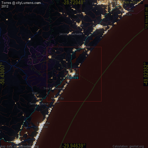
» Earth at Night: Flat Maps 2012, 2016