Forquilhinha night lights from space
Night Light of Forquilhinha (Santa Catarina) from space (Brazil) Src. Average luminocity for 10x10km area is 41.892% and for 50x50km: 19.5251%.
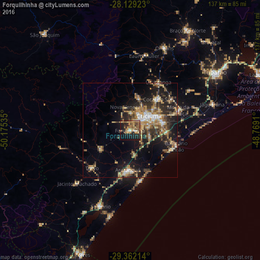
Analysis of Forquilhinha night lights 2016
Square area 10x10 km:
 1.89%
1.89%90-99
4.55%80-89
6.25%70-79
7.77%60-69
11.93%50-59
11.93%40-49
4.17%30-39
2.46%20-29
13.64%10-19
27.46%0-9
7.95%Square area 50x50 km:
1.47%90-99
2.01%80-89
3.55%70-79
2.61%60-69
3.29%50-59
3.91%40-49
2.8%30-39
4.04%20-29
5.84%10-19
12.3%0-9
58.18%Clear (daylight) street map image can be seen on geolist.org.
Map coordinates:
28° 7' 45.2" South, 50° 10' 31.3" West
28° 44' 51" South, 49° 28' 20" West
29° 21' 43.7" South, 48° 46' 8.8" West
Some cities around Forquilhinha sort by population:
• Criciúma
12.7 km =7.9 mi,  52°
52°
• Içara
17.2 km =10.7 mi,  77°
77°
• Araranguá
21.1 km =13.1 mi,  186°
186°
• Morro da Fumaça
27.7 km =17.2 mi,  67°
67°
• Cocal
21.4 km =13.3 mi,  41°
41°
• Urussanga
29.5 km =18.3 mi,  30°
30°
• Lauro Muller
40.1 km =24.9 mi,  10°
10°
• Siderópolis
17.3 km =10.7 mi,  15°
15°
3463066 (p: 22,998)
Sources (retrieved 2019-11-25):
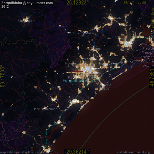
» Earth at Night: Flat Maps 2012, 2016