Osório night lights from space
Night Light of Osório (Rio Grande do Sul) from space (Brazil) Src. Average luminocity for 10x10km area is 35.6409% and for 50x50km: 9.4138%.
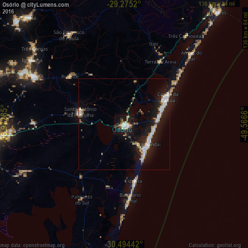
Analysis of Osório night lights 2016
Square area 10x10 km:
 5.56%
5.56%90-99
6.55%80-89
5.16%70-79
4.37%60-69
2.18%50-59
5.16%40-49
2.78%30-39
6.55%20-29
7.74%10-19
41.27%0-9
12.7%Square area 50x50 km:
1.72%90-99
1.72%80-89
1.07%70-79
0.76%60-69
0.78%50-59
0.72%40-49
0.5%30-39
1.19%20-29
2.85%10-19
10.17%0-9
78.53%Clear (daylight) street map image can be seen on geolist.org.
Map coordinates:
29° 16' 30.7" South, 50° 58' 22.3" West
29° 53' 12" South, 50° 16' 11" West
30° 29' 39.9" South, 49° 33' 59.8" West
Some cities around Osório sort by population:
• Taquara
55.9 km =34.7 mi,  298°
298°
• Capão da Canoa
29.6 km =18.4 mi,  57°
57°
• Tramandaí
17.1 km =10.6 mi,  129°
129°
• Igrejinha
61.1 km =38 mi, 304°
• Rolante
39.5 km =24.5 mi,  311°
311°
• São Francisco de Paula
57.4 km =35.7 mi,  328°
328°
• Cidreira
33.3 km =20.7 mi,  169°
169°
• Palmares do Sul
47.3 km =29.4 mi,  209°
209°
3455769 (p: 34,628)
Sources (retrieved 2019-11-25):
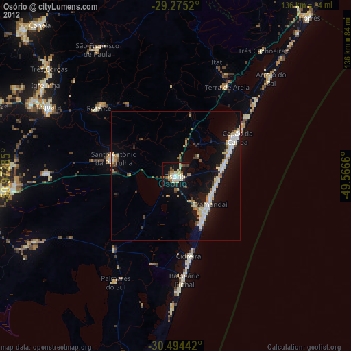
» Earth at Night: Flat Maps 2012, 2016