Capão da Canoa night lights from space
Night Light of Capão da Canoa (Rio Grande do Sul) from space (Brazil) Src. Average luminocity for 10x10km area is 38.7381% and for 50x50km: 8.3753%.
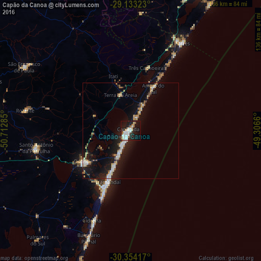
Analysis of Capão da Canoa night lights 2016
Square area 10x10 km:
 10.91%
90-99
10.52%80-89
1.59%70-79
2.78%60-69
4.17%50-59
3.17%40-49
0.4%30-39
0.6%20-29
12.5%10-19
38.89%0-9
14.48%Square area 50x50 km:
1.28%90-99
1.36%80-89
0.87%70-79
0.9%60-69
0.96%50-59
0.73%40-49
0.4%30-39
0.97%20-29
2.11%10-19
9.61%0-9
80.8%Clear (daylight) street map image can be seen on geolist.org.
Map coordinates:
29° 7' 59.6" South, 50° 42' 46.3" West
29° 44' 44" South, 50° 0' 35" West
30° 21' 15" South, 49° 18' 23.8" West
Some cities around Capão da Canoa sort by population:
• Taquara
75.2 km =46.7 mi,  278°
278°
• Tramandaí
29.2 km =18.1 mi,  204°
204°
• Osório
29.6 km =18.4 mi,  237°
237°
• Torres
53.2 km =33.1 mi,  30°
30°
• Rolante
55.7 km =34.6 mi, 280°
• São Francisco de Paula
64.6 km =40.1 mi,  300°
300°
• Cidreira
52 km =32.3 mi, 201°
• Palmares do Sul
74.6 km =46.4 mi,  220°
220°
3467362 (p: 35,896)
Sources (retrieved 2019-11-25):
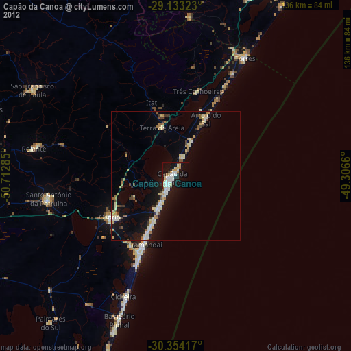
» Earth at Night: Flat Maps 2012, 2016