Içara night lights from space
Night Light of Içara (Santa Catarina) from space (Brazil) Src. Average luminocity for 10x10km area is 60.483% and for 50x50km: 20.4424%.
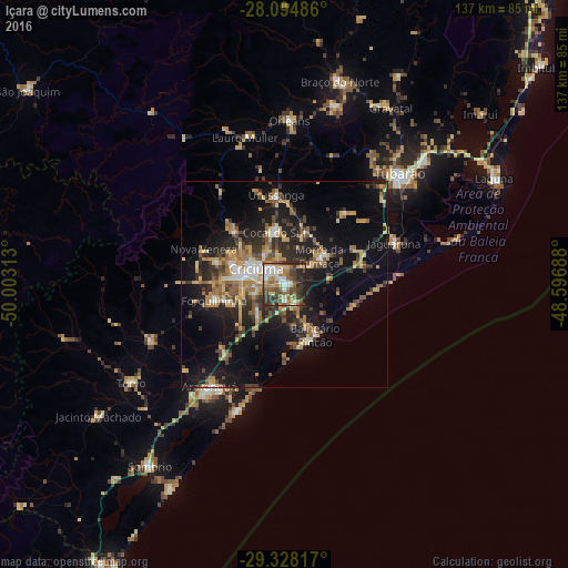
Analysis of Içara night lights 2016
Square area 10x10 km:
 8.14%
8.14%90-99
11.55%80-89
8.71%70-79
7.2%60-69
12.69%50-59
13.64%40-49
9.66%30-39
16.29%20-29
10.98%10-19
1.14%0-9
0%Square area 50x50 km:
1.31%90-99
1.9%80-89
3.38%70-79
3.08%60-69
3.41%50-59
3.92%40-49
2.84%30-39
4.41%20-29
5.98%10-19
14.19%0-9
55.58%Clear (daylight) street map image can be seen on geolist.org.
Map coordinates:
28° 5' 41.5" South, 50° 0' 11.3" West
28° 42' 48" South, 49° 18' 0" West
29° 19' 41.4" South, 48° 35' 48.8" West
Some cities around Içara sort by population:
• Criciúma
7.9 km =4.9 mi,  300°
300°
• Araranguá
31.2 km =19.4 mi,  217°
217°
• Forquilhinha
17.2 km =10.7 mi,  257°
257°
• Morro da Fumaça
11.2 km =7 mi,  51°
51°
• Cocal
12.5 km =7.8 mi,  347°
347°
• Jaguaruna
28.7 km =17.8 mi,  69°
69°
• Urussanga
21.8 km =13.5 mi, 354°
• Siderópolis
17.7 km =11 mi,  316°
316°
3461519 (p: 51,454)
Sources (retrieved 2019-11-25):
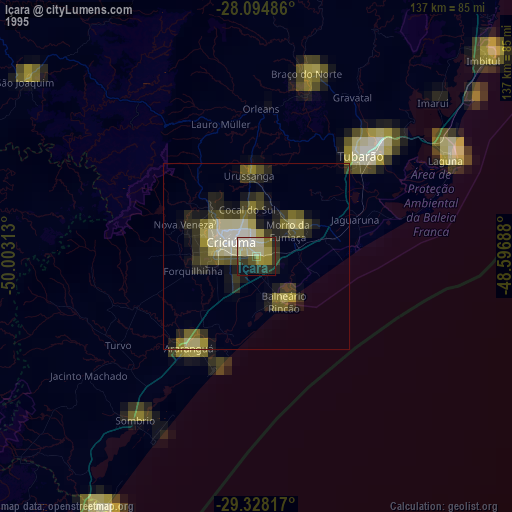
» NASA, Earths city lights 1995
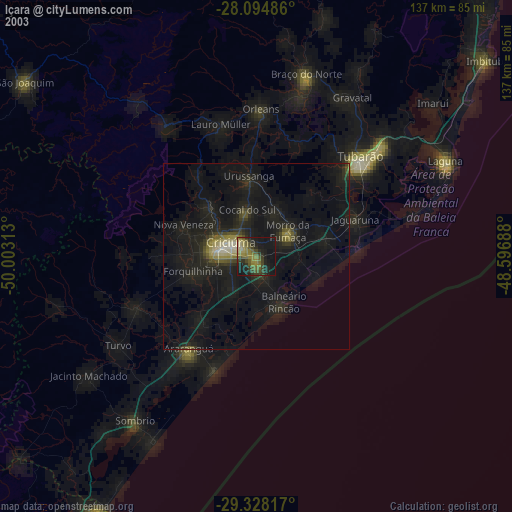
» NASA city lights 2003
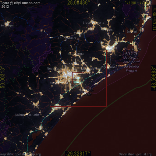
» Earth at Night: Flat Maps 2012, 2016