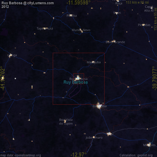
Ruy Barbosa night lights from space
Night Light of Ruy Barbosa (Bahia) from space (Brazil) Src. Average luminocity for 10x10km area is 15.6818% and for 50x50km: 1.2296%.
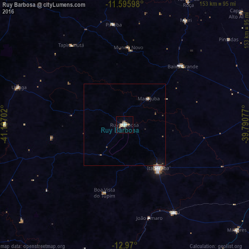
Analysis of Ruy Barbosa night lights 2016
Square area 10x10 km:
 2.27%
2.27%90-99
2.07%80-89
2.07%70-79
2.07%60-69
3.93%50-59
1.65%40-49
0.83%30-39
0.83%20-29
2.48%10-19
0.62%0-9
81.2%Square area 50x50 km:
0.12%90-99
0.14%80-89
0.12%70-79
0.13%60-69
0.19%50-59
0.24%40-49
0.13%30-39
0.11%20-29
0.25%10-19
0.54%0-9
98.01%Clear (daylight) street map image can be seen on geolist.org.
Map coordinates:
11° 35' 45.5" South, 41° 11' 49.3" West
12° 17' 2" South, 40° 29' 38" West
12° 58' 12" South, 39° 47' 26.8" West
Some cities around Ruy Barbosa sort by population:
• Itaberaba
33.9 km =21.1 mi,  143°
143°
• Vera Cruz
70.3 km =43.7 mi,  236°
236°
• Iaçu
61.9 km =38.5 mi,  150°
150°
• Tapiramutá
58.3 km =36.2 mi,  326°
326°
• Piritiba
61.9 km =38.5 mi,  353°
353°
• Mundo Novo
47.3 km =29.4 mi,  2°
2°
• Terra Nova
20.9 km =13 mi, 243°
• Baixa Grande
50.5 km =31.4 mi,  44°
44°
3450832 (p: 21,093)
Sources (retrieved 2019-11-25):
» Earth at Night: Flat Maps 2012, 2016