Mairi night lights from space
Night Light of Mairi (Bahia) from space (Brazil) Src. Average luminocity for 10x10km area is 5.5351% and for 50x50km: 0.9533%.
Analysis of Mairi night lights 2016
Square area 10x10 km:
 0.83%
0.83%90-99
1.65%80-89
0%70-79
0.83%60-69
0%50-59
1.86%40-49
0.62%30-39
0.83%20-29
0%10-19
0%0-9
93.39%Square area 50x50 km:
0.07%90-99
0.17%80-89
0%70-79
0.13%60-69
0.19%50-59
0.28%40-49
0.13%30-39
0.27%20-29
0.15%10-19
0.12%0-9
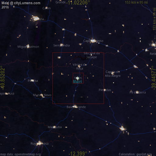
98.5%Clear (daylight) street map image can be seen on geolist.org.
Map coordinates:
11° 1' 19.4" South, 40° 51' 7.3" West
11° 42' 41" South, 40° 8' 56" West
12° 23' 56.4" South, 39° 26' 44.8" West
Some cities around Mairi sort by population:
• Jacobina
71.1 km =44.2 mi,  325°
325°
• Ipirá
66.9 km =41.6 mi,  137°
137°
• Capim Grosso
39.6 km =24.6 mi,  21°
21°
• Tapiramutá
71.5 km =44.4 mi,  257°
257°
• Piritiba
44.3 km =27.5 mi,  267°
267°
• Miguel Calmon
57.9 km =36 mi,  302°
302°
• Mundo Novo
38.9 km =24.2 mi,  245°
245°
• Baixa Grande
27.7 km =17.2 mi,  184°
184°
3458134 (p: 13,471)
Sources (retrieved 2019-11-25):
» Earth at Night: Flat Maps 2012, 2016