Taiobeiras night lights from space
Night Light of Taiobeiras (Minas Gerais) from space (Brazil) Src. Average luminocity for 10x10km area is 16.197% and for 50x50km: 0.9176%.
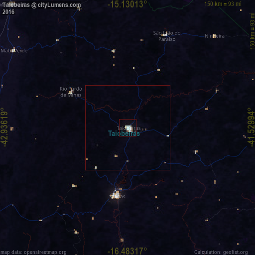
Analysis of Taiobeiras night lights 2016
Square area 10x10 km:
 3.9%
3.9%90-99
4.98%80-89
1.95%70-79
0.43%60-69
0%50-59
0.43%40-49
1.52%30-39
0.65%20-29
1.73%10-19
1.95%0-9
82.47%Square area 50x50 km:
0.15%90-99
0.25%80-89
0.14%70-79
0.02%60-69
0.07%50-59
0.02%40-49
0.12%30-39
0.06%20-29
0.16%10-19
0.19%0-9
98.83%Clear (daylight) street map image can be seen on geolist.org.
Map coordinates:
15° 7' 48.5" South, 42° 56' 10.3" West
15° 48' 28" South, 42° 13' 59" West
16° 28' 59.4" South, 41° 31' 47.8" West
Some cities around Taiobeiras sort by population:
• Salinas
40.8 km =25.4 mi,  188°
188°
• Águas Vermelhas
83 km =51.6 mi,  85°
85°
• Medina
93 km =57.8 mi,  119°
119°
• Porteirinha
85.4 km =53.1 mi,  274°
274°
• Monte Azul
100 km =62.1 mi,  316°
316°
• Rio Pardo de Minas
39.5 km =24.5 mi,  303°
303°
• São João do Paraíso
59.7 km =37.1 mi,  23°
23°
• Mato Verde
81.8 km =50.8 mi, 303°
3447059 (p: 24,351)
Sources (retrieved 2019-11-25):
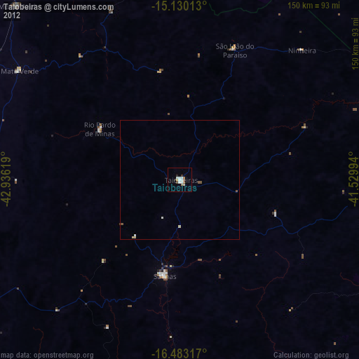
» Earth at Night: Flat Maps 2012, 2016