Porteirinha night lights from space
Night Light of Porteirinha (Minas Gerais) from space (Brazil) Src. Average luminocity for 10x10km area is 12.7056% and for 50x50km: 0.9433%.
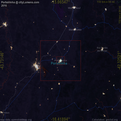
Analysis of Porteirinha night lights 2016
Square area 10x10 km:
 1.3%
1.3%90-99
2.6%80-89
2.16%70-79
1.73%60-69
0.65%50-59
1.3%40-49
2.38%30-39
2.38%20-29
0.22%10-19
0.43%0-9
84.85%Square area 50x50 km:
0.05%90-99
0.13%80-89
0.09%70-79
0.08%60-69
0.12%50-59
0.19%40-49
0.28%30-39
0.21%20-29
0.13%10-19
0.06%0-9
98.67%Clear (daylight) street map image can be seen on geolist.org.
Map coordinates:
15° 3' 55.7" South, 43° 43' 53.3" West
15° 44' 36" South, 43° 1' 42" West
16° 25' 8.2" South, 42° 19' 30.8" West
Some cities around Porteirinha sort by population:
• Janaúba
30.7 km =19.1 mi,  257°
257°
• Salinas
92.1 km =57.2 mi,  121°
121°
• Taiobeiras
85.4 km =53.1 mi,  94°
94°
• Barreiro do Jaíba
62 km =38.5 mi,  283°
283°
• Espinosa
93.6 km =58.2 mi,  13°
13°
• Monte Azul
67.5 km =41.9 mi, 14°
• Rio Pardo de Minas
54.4 km =33.8 mi,  74°
74°
• Mato Verde
42.2 km =26.2 mi,  24°
24°
3452956 (p: 14,144)
Sources (retrieved 2019-11-25):
» Earth at Night: Flat Maps 2012, 2016