Mato Verde night lights from space
Night Light of Mato Verde (Minas Gerais) from space (Brazil) Src. Average luminocity for 10x10km area is 5.7035% and for 50x50km: 0.4932%.
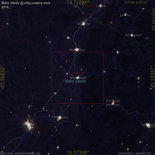
Analysis of Mato Verde night lights 2016
Square area 10x10 km:
 1.08%
1.08%90-99
1.52%80-89
0.65%70-79
0.22%60-69
0%50-59
1.52%40-49
0.22%30-39
0.87%20-29
1.08%10-19
0.65%0-9
92.21%Square area 50x50 km:
0.04%90-99
0.08%80-89
0.03%70-79
0.01%60-69
0.08%50-59
0.15%40-49
0.13%30-39
0.03%20-29
0.18%10-19
0.06%0-9
99.22%Clear (daylight) street map image can be seen on geolist.org.
Map coordinates:
14° 43' 5.7" South, 43° 34' 10.3" West
15° 23' 50" South, 42° 51' 59" West
16° 4' 26.4" South, 42° 9' 47.8" West
Some cities around Mato Verde sort by population:
• Janaúba
65.4 km =40.6 mi,  226°
226°
• Taiobeiras
81.8 km =50.8 mi,  123°
123°
• Barreiro do Jaíba
81.4 km =50.6 mi,  252°
252°
• Espinosa
52.6 km =32.7 mi,  5°
5°
• Porteirinha
42.2 km =26.2 mi,  204°
204°
• Monte Azul
26.9 km =16.7 mi,  358°
358°
• Rio Pardo de Minas
42.2 km =26.2 mi, 124°
• São João do Paraíso
91.8 km =57 mi,  84°
84°
3457398 (p: 7,783)
Sources (retrieved 2019-11-25):
» Earth at Night: Flat Maps 2012, 2016