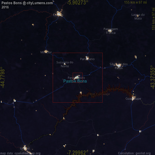
Pastos Bons night lights from space
Night Light of Pastos Bons (Maranhão) from space (Brazil) Src. Average luminocity for 10x10km area is 10.9372% and for 50x50km: 1.0225%.
Analysis of Pastos Bons night lights 2016
Square area 10x10 km:
 1.73%
1.73%90-99
1.73%80-89
0.87%70-79
0%60-69
2.81%50-59
3.25%40-49
1.08%30-39
0.65%20-29
2.6%10-19
0%0-9
85.28%Square area 50x50 km:
0.14%90-99
0.24%80-89
0.03%70-79
0.07%60-69
0.15%50-59
0.2%40-49
0.18%30-39
0.11%20-29
0.27%10-19
0.11%0-9
98.49%Clear (daylight) street map image can be seen on geolist.org.
Map coordinates:
5° 54' 9.8" South, 44° 46' 47.3" West
6° 36' 6" South, 44° 4' 36" West
7° 17' 58.6" South, 43° 22' 24.8" West
Some cities around Pastos Bons sort by population:
• Colinas
66.8 km =41.5 mi,  343°
343°
• São João dos Patos
43 km =26.7 mi,  74°
74°
• Buriti Bravo
89.1 km =55.4 mi,  17°
17°
• Paraibano
21.4 km =13.3 mi,  28°
28°
• Uruçuí
87.6 km =54.4 mi,  217°
217°
• Raposa
15.1 km =9.4 mi,  308°
308°
• Passagem Franca
57 km =35.4 mi, 34°
• Mirador
40.7 km =25.3 mi, 309°
3392907 (p: 10,468)
Sources (retrieved 2019-11-25):
» Earth at Night: Flat Maps 2012, 2016